Transport Functions
Multimodal
Hub Profile
Place type
Populated place
Region
Bourgogne
Population
1,448
Time zone
Europe/Paris
Elevation
239 m
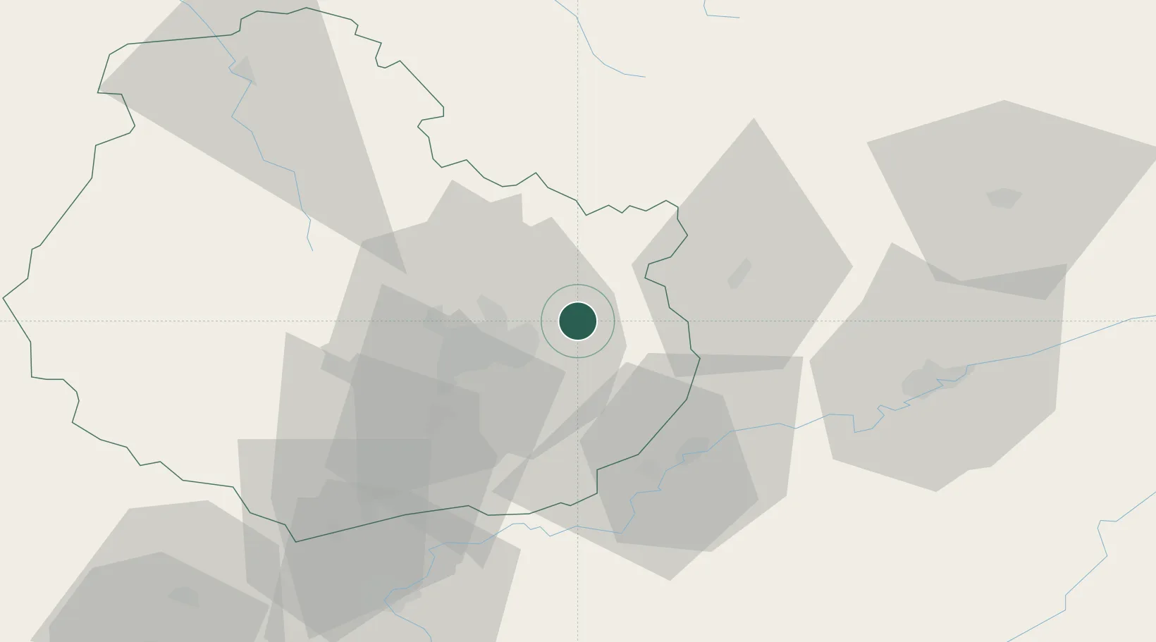
Location
Nearby Logistics Neighbours
Cities
- 1Mirebeau-sur-Bèze4 km
- 2Cirey-lès-Pontailler8 km
- 3Brognon8 km
- 4Blagny-sur-Vingeanne11 km
- 5Vonges13 km
Ports
- 1Port Of Rouen387 km
- 2Bruxelles395 km
- 3Saint-Valery-Sur-Somme412 km
- 4Le Treport415 km
- 5Dieppe419 km
Airports
Trade Zones
- 1ZFU Chenôve23 km
- 2ZFU Besancon58 km
- 3ZFU Montbéliard115 km
- 4ZFU Belfort120 km
- 5PESA - Port-Franc et Entrepôts de Lausanne-Chavornay SA122 km
DatabookThe Record of Consolidated Knowledge
France beyond logistics?