Transport Functions
Multimodal
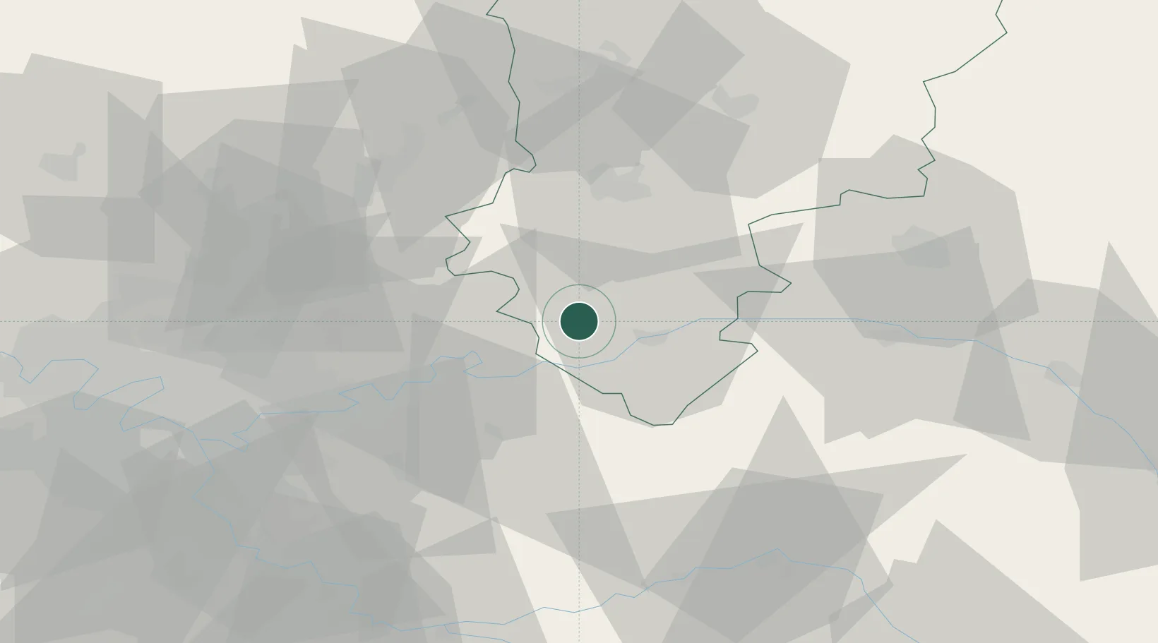
Hub Profile
Place type
Populated place
Region
Hauts-de-France
Population
75
Time zone
Europe/Paris
Elevation
115 m
Location
Nearby Logistics Neighbours
Cities
- 1Belleau2 km
- 2Bézu-le-Guéry8 km
- 3Essômes-sur-Marne10 km
- 4Crouttes-sur-Marne11 km
- 5Montgru-Saint-Hilaire12 km
Ports
- 1Port Of Rouen165 km
- 2Saint-Valery-Sur-Somme171 km
- 3Le Treport175 km
- 4Dieppe184 km
- 5Bruxelles213 km
Airports
Trade Zones
- 1ZFU Meaux31 km
- 2ZFU Presles, Chevreux33 km
- 3ZFU Reims56 km
- 4ZFU Clichy-sous-Bois et Montfermeil56 km
- 5ZFU Sevran57 km
DatabookThe Record of Consolidated Knowledge
France beyond logistics?