UN/LOCODE hub · France
FRNTG
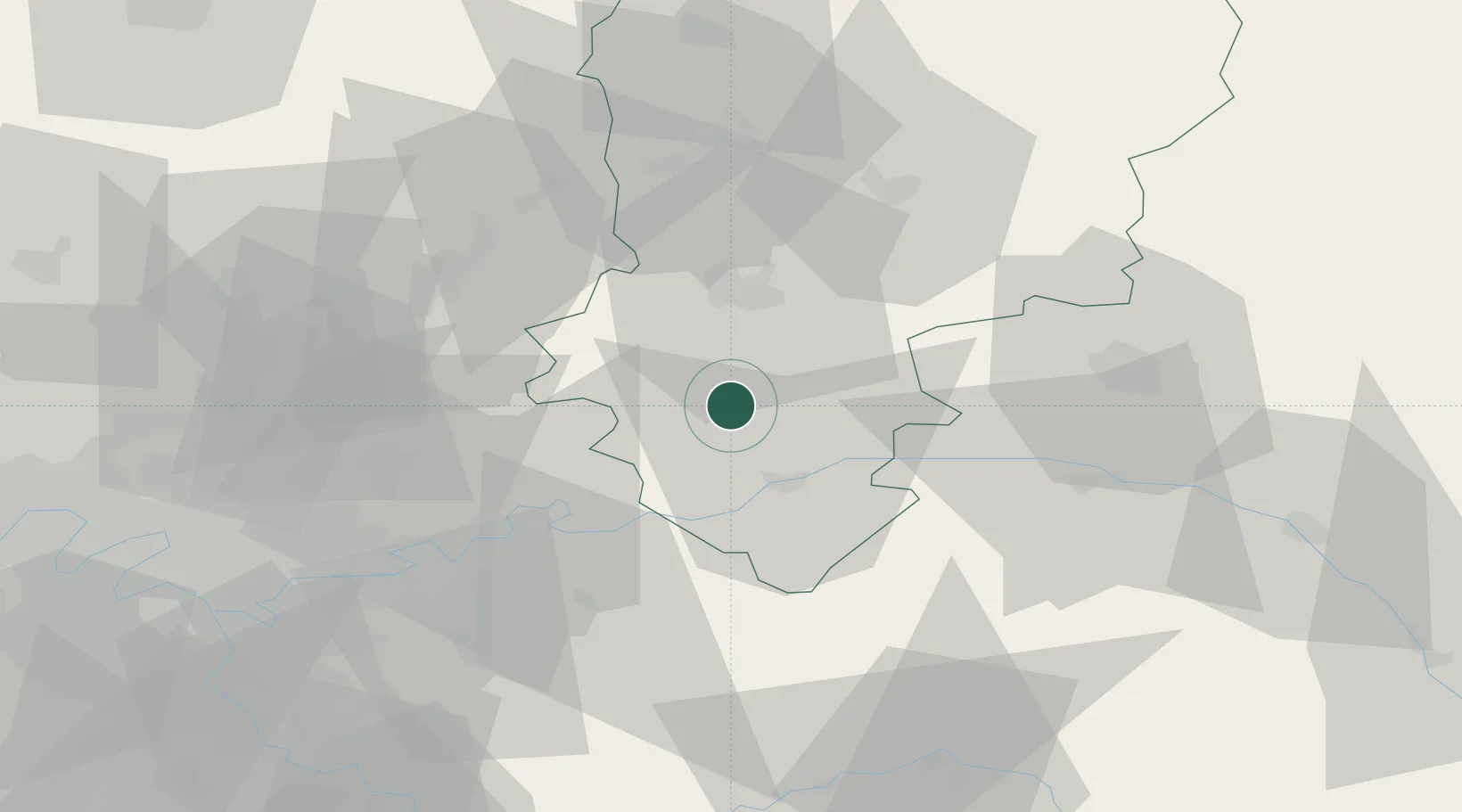
Montgru-Saint-Hilaire
49.1833°, 3.3333°
41
Population
2
Transport functions
Transport Functions
Road
Multimodal
Hub Profile
Place type
Populated place
Region
Hauts-de-France
Population
41
Time zone
Europe/Paris
Elevation
85 m
Location
Nearby Logistics Neighbours
Cities
- 1Rozet-Saint-Albin3 km
- 2Cramaille10 km
- 3Belleau11 km
- 4Torcy-en-Valois12 km
- 5Fère-en-Tardenois14 km
Ports
- 1Saint-Valery-Sur-Somme166 km
- 2Port Of Rouen167 km
- 3Le Treport172 km
- 4Dieppe183 km
- 5Bruxelles201 km
Airports
Trade Zones
- 1ZFU Presles, Chevreux22 km
- 2ZFU Meaux41 km
- 3ZFU Reims48 km
- 4ZFU Sevran65 km
- 5ZFU Clichy-sous-Bois et Montfermeil65 km
DatabookThe Record of Consolidated Knowledge
France beyond logistics?