Transport Functions
Road
Multimodal
Hub Profile
Place type
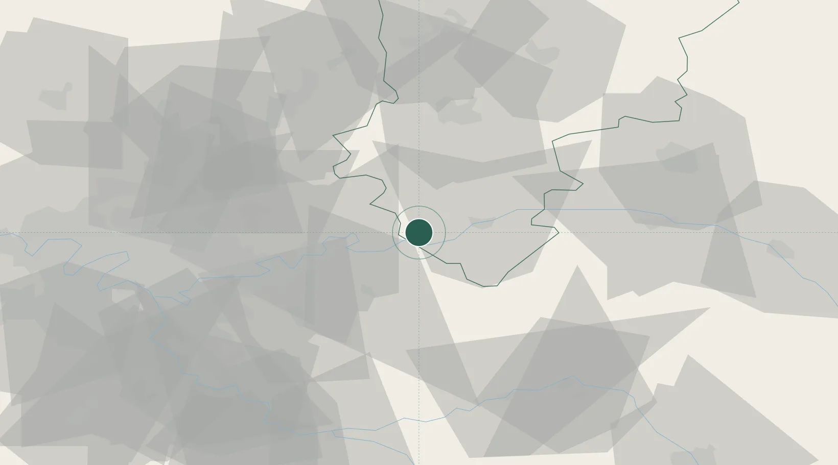
Populated place
Region
Hauts-de-France
Population
207
Time zone
Europe/Paris
Elevation
141 m
Location
Nearby Logistics Neighbours
Cities
- 1Crouttes-sur-Marne4 km
- 2Saâcy-sur-Marne6 km
- 3Charly-sur-Marne7 km
- 4Luzancy7 km
- 5Torcy-en-Valois8 km
Ports
- 1Port Of Rouen165 km
- 2Saint-Valery-Sur-Somme174 km
- 3Le Treport178 km
- 4Dieppe186 km
- 5Bruxelles221 km
Airports
Trade Zones
- 1ZFU Meaux26 km
- 2ZFU Presles, Chevreux40 km
- 3ZFU Clichy-sous-Bois et Montfermeil52 km
- 4ZFU Sevran53 km
- 5ZFU Neuilly-sur-Marne55 km
DatabookThe Record of Consolidated Knowledge
France beyond logistics?