Transport Functions
Multimodal
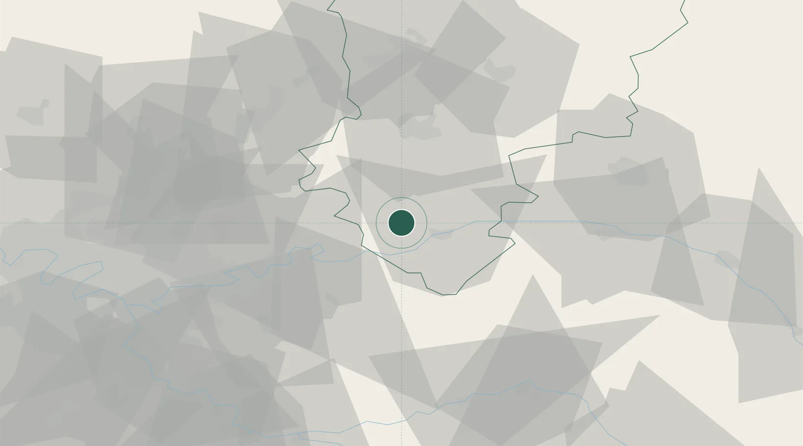
Hub Profile
Place type
Populated place
Region
Hauts-de-France
Population
135
Time zone
Europe/Paris
Elevation
118 m
Location
Nearby Logistics Neighbours
Cities
- 1Torcy-en-Valois2 km
- 2Bézu-le-Guéry9 km
- 3Essômes-sur-Marne9 km
- 4Brasles10 km
- 5Chierry11 km
Ports
- 1Port Of Rouen167 km
- 2Saint-Valery-Sur-Somme172 km
- 3Le Treport177 km
- 4Dieppe186 km
- 5Bruxelles212 km
Airports
Trade Zones
- 1ZFU Presles, Chevreux33 km
- 2ZFU Meaux33 km
- 3ZFU Reims53 km
- 4ZFU Clichy-sous-Bois et Montfermeil59 km
- 5ZFU Sevran59 km
DatabookThe Record of Consolidated Knowledge
France beyond logistics?