Transport Functions
Port
Multimodal
Hub Profile
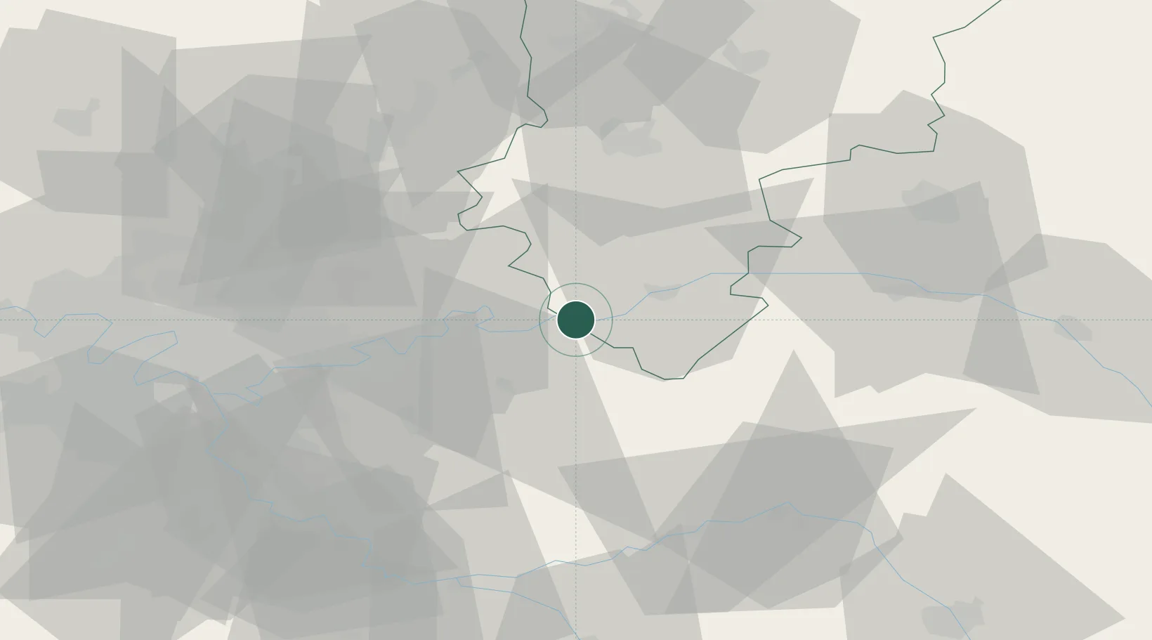
Place type
Populated place
Region
Hauts-de-France
Time zone
Europe/Paris
Elevation
76 m
Location
Nearby Logistics Neighbours
Cities
- 1Saâcy-sur-Marne2 km
- 2Bézu-le-Guéry4 km
- 3Charly-sur-Marne4 km
- 4Luzancy5 km
- 5Nogent-l'Artaud6 km
Ports
- 1Port Of Rouen166 km
- 2Saint-Valery-Sur-Somme177 km
- 3Le Treport181 km
- 4Dieppe188 km
- 5Bruxelles224 km
Airports
Trade Zones
- 1ZFU Meaux26 km
- 2ZFU Presles, Chevreux44 km
- 3ZFU Clichy-sous-Bois et Montfermeil51 km
- 4ZFU Sevran52 km
- 5ZFU Neuilly-sur-Marne54 km
DatabookThe Record of Consolidated Knowledge
France beyond logistics?