UN/LOCODE hub · France
FREM2
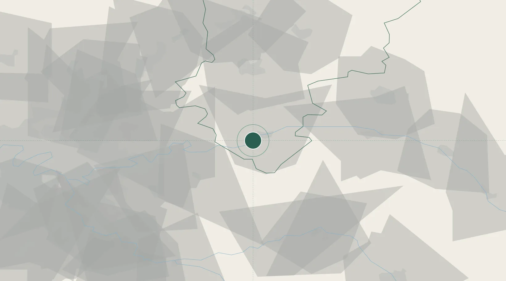
Essômes-sur-Marne
49.0167°, 3.3667°
2,483
Population
2
Transport functions
Transport Functions
Port
Multimodal
Hub Profile
Place type
Populated place
Region
Hauts-de-France
Population
2,483
Time zone
Europe/Paris
Elevation
63 m
Location
Nearby Logistics Neighbours
Cities
- 1Romeny-sur-Marne4 km
- 2Chierry5 km
- 3Brasles6 km
- 4Nogent-l'Artaud7 km
- 5Charly-sur-Marne8 km
Ports
- 1Port Of Rouen174 km
- 2Saint-Valery-Sur-Somme181 km
- 3Le Treport186 km
- 4Dieppe194 km
- 5Bruxelles217 km
Airports
Trade Zones
- 1ZFU Meaux36 km
- 2ZFU Presles, Chevreux40 km
- 3ZFU Reims52 km
- 4ZFU Clichy-sous-Bois et Montfermeil61 km
- 5ZFU Sevran62 km
DatabookThe Record of Consolidated Knowledge
France beyond logistics?