UN/LOCODE hub · France
FR8GT

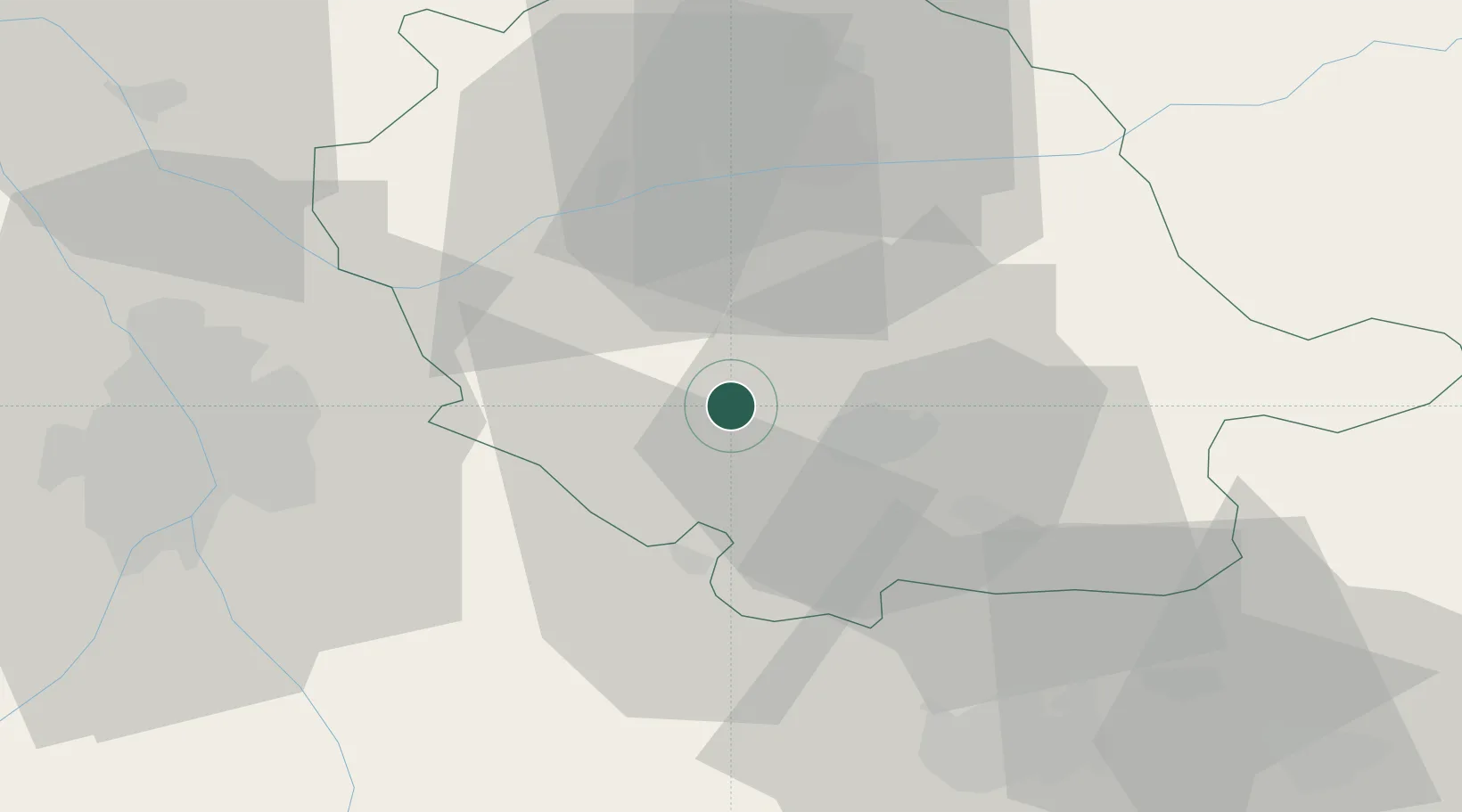
Guitalens-l'Albarède

43.6500°, 2.0500°
277
Population
6
Transport functions

Transport Functions

Port
Rail
Road
Airport
Multimodal
Postal
UN/LOCODE

Hub Profile

Place type
Populated place
GeoNames
Region
Occitanie
GeoNames
Population
277
GeoNames
Time zone
Europe/Paris
GeoNames
Elevation
153 m
GeoNames

Location

Location of FR8GT
Natural Earth 10m (public domain) · Occitanie · FR8GT · 43.65, 2.05GoogleOSMYandex

Nearby Logistics Neighbours

Cities
  1. 1Lautrec11 km
  2. 2Laboulbène12 km
  3. 3Castres16 km
  4. 4Roquecourbe20 km
  5. 5Cadalen23 km
Nearest neighbours — logibook spatial index (haversine) over the source coordinates
Ports
  1. 1Port-La-Nouvelle108 km
  2. 2Sete136 km
  3. 3Port-Vendres153 km
  4. 4Rosas179 km
  5. 5Palamos220 km
Nearest neighbours — logibook spatial index (haversine) over the source coordinates
Airports
  1. 1Castres Mazamet Airport22 km
  2. 2Albi Le Sequestre airport30 km
  3. 3Carcassonne Salvaza Airport53 km
  4. 4Toulouse-Blagnac Airport55 km
  5. 5Toulouse-Francazal (BA 101) Air Base56 km
Nearest neighbours — logibook spatial index (haversine) over the source coordinates
Trade Zones
  1. 1ZFU Toulouse49 km
  2. 2ZFU Béziers100 km
  3. 3ZFU Perpignan126 km
  4. 4ZFU Montpellier145 km
  5. 5ZFU Nîmes185 km
Nearest neighbours — logibook spatial index (haversine) over the source coordinates
DatabookThe Record of Consolidated Knowledge
France beyond logistics?
Browse databook

All Sources

LocationsUN/LOCODE
UN/LOCODE — free
LocationsGeoNames
CC BY 4.0
Portsthe NGA World Port Index
Public domain (US gov)
AirportsOurAirports
Public domain
Trade Zonesthe World Bank SEZ database
CC BY 4.0
Trade ZonesOpen Zone Map
CC BY
← France locations