Transport Functions
Rail
Road
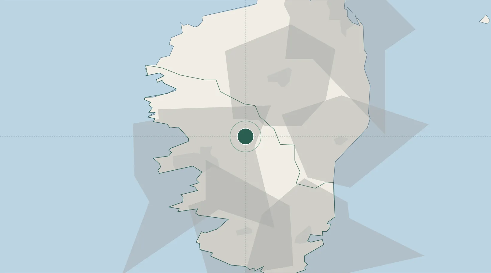
Hub Profile
Place type
Populated place
Region
Corsica
Population
356
Time zone
Europe/Paris
Elevation
491 m
Location
Nearby Logistics Neighbours
Cities
- 1Cauro20 km
- 2Figueiro22 km
- 3Grosseto-Prugna22 km
- 4Ajaccio27 km
- 5Pila-Canale29 km
Ports
- 1Port D' Ajaccio27 km
- 2Port De Propriano43 km
- 3Porto Vecchio59 km
- 4Calvi59 km
- 5L'ile Rousse63 km
Airports
Trade Zones
- 1Sardinia Special Economic Zone Area164 km
- 2ZFU LAriane233 km
- 3ZFU Toulon277 km
- 4ZFU La Seyne-sur-Mer282 km
- 5Free Zone of Portovesme324 km
DatabookThe Record of Consolidated Knowledge
France beyond logistics?