Transport Functions
Port
Road
Hub Profile
Place type
Populated place
Region
Grand Est
Population
69
Time zone
Europe/Paris
Elevation
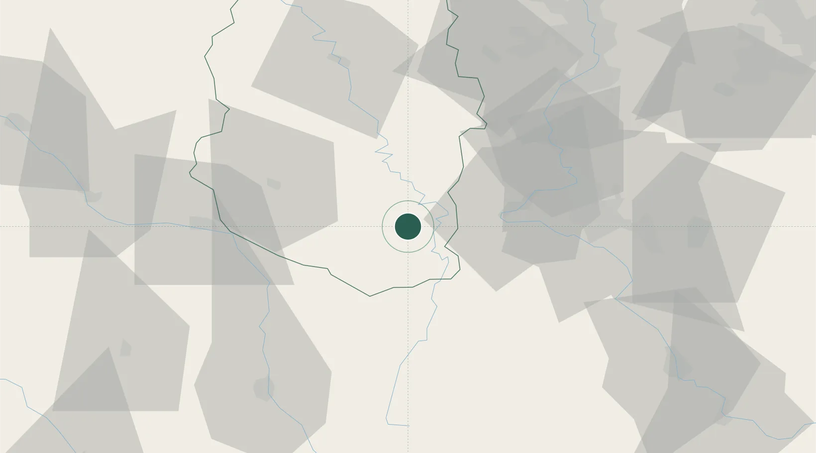
258 m
Location
Nearby Logistics Neighbours
Cities
- 1Void-Vacon6 km
- 2Sorcy-Saint-Martin8 km
- 3Baudignécourt12 km
- 4Euville13 km
- 5Lérouville17 km
Airports
Trade Zones
- 1ZFU Maxéville, Laxou, et de Nancy42 km
- 2ZFU Saint-Dizier54 km
- 3ZFU Metz67 km
- 4ZFU Woippy-Metz70 km
- 5ZFU La Cité Behren-lès-Forbach114 km
DatabookThe Record of Consolidated Knowledge
France beyond logistics?