Transport Functions
Road
Multimodal
Hub Profile
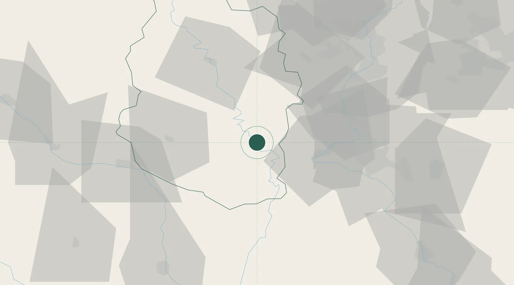
Place type
Populated place
Region
Grand Est
Population
1,450
Time zone
Europe/Paris
Elevation
234 m
Location
Nearby Logistics Neighbours
Cities
- 1Sorcy-Saint-Martin6 km
- 2Lérouville7 km
- 3Void-Vacon7 km
- 4Sauvoy13 km
- 5Lucey16 km
Airports
Trade Zones
- 1ZFU Maxéville, Laxou, et de Nancy40 km
- 2ZFU Metz56 km
- 3ZFU Saint-Dizier56 km
- 4ZFU Woippy-Metz59 km
- 5ZFU La Cité Behren-lès-Forbach106 km
DatabookThe Record of Consolidated Knowledge
France beyond logistics?