Transport Functions
Rail
Road
Multimodal
Hub Profile
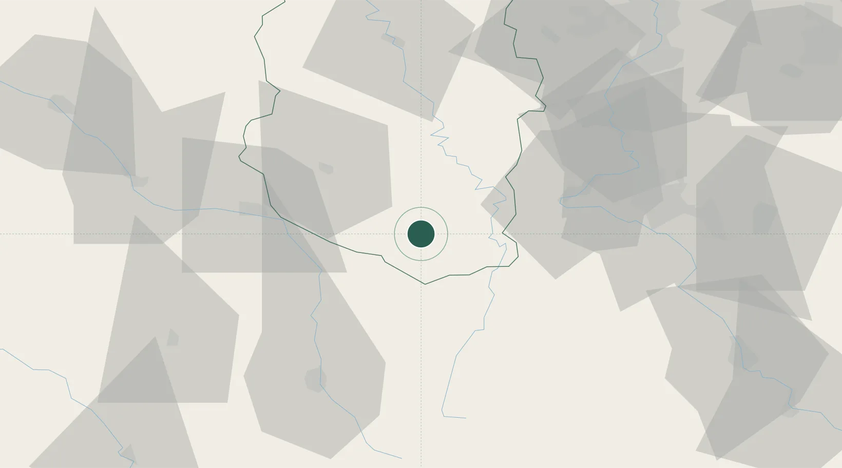
Place type
Populated place
Region
Grand Est
Population
100
Time zone
Europe/Paris
Elevation
285 m
Location
Nearby Logistics Neighbours
Cities
- 1Sauvoy12 km
- 2Cirfontaines-en-Ornois14 km
- 3Ligny-en-Barrois16 km
- 4Void-Vacon17 km
- 5Sorcy-Saint-Martin19 km
Airports
Trade Zones
DatabookThe Record of Consolidated Knowledge
France beyond logistics?