Transport Functions
Port
Road
Multimodal
Hub Profile
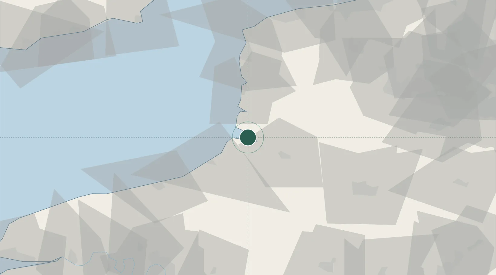
Place type
Populated place
Region
Hauts-de-France
Population
2,481
Time zone
Europe/Paris
Elevation
0 m
Location
Nearby Logistics Neighbours
Cities
- 1Saint-Valery-sur-Somme4 km
- 2Noyelles7 km
- 3Quend12 km
- 4Nibas13 km
- 5Friville-Escarbotin16 km
Ports
- 1Saint-Valery-Sur-Somme4 km
- 2Le Treport24 km
- 3Dieppe49 km
- 4Boulogne-Sur-Mer58 km
- 5Calais85 km
Airports
Trade Zones
DatabookThe Record of Consolidated Knowledge
France beyond logistics?