Transport Functions
Multimodal
Hub Profile
Place type
Populated place
Region
Pays de la Loire
Population
787
Time zone
Europe/Paris
Elevation
69 m
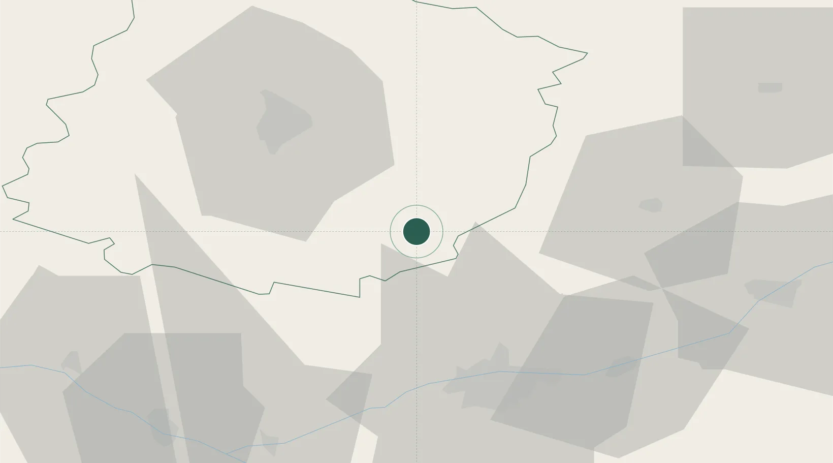
Location
Nearby Logistics Neighbours
Cities
- 1Marçon2 km
- 2Lhomme3 km
- 3La Chartre-sur-le-Loir5 km
- 4Ruillé-sur-Loir8 km
- 5Montval-sur-Loir9 km
Ports
- 1Nantes167 km
- 2Port De Caen173 km
- 3Ouistreham181 km
- 4Deauville184 km
- 5Honfleur189 km
Airports
- 1Le Mans-Arnage Airport34 km
- 2Tours Val de Loire Airport37 km
- 3Angers Marcé airport65 km
- 4Châteaudun Airfield74 km
- 5Orléans-Bricy (BA 123) Air Base97 km
Trade Zones
- 1ZFU Le Mans40 km
- 2ZFU Blois59 km
- 3ZFU Alençon84 km
- 4ZFU Angers88 km
- 5ZFU Orléans100 km
DatabookThe Record of Consolidated Knowledge
France beyond logistics?