UN/LOCODE hub · France
FRSRY

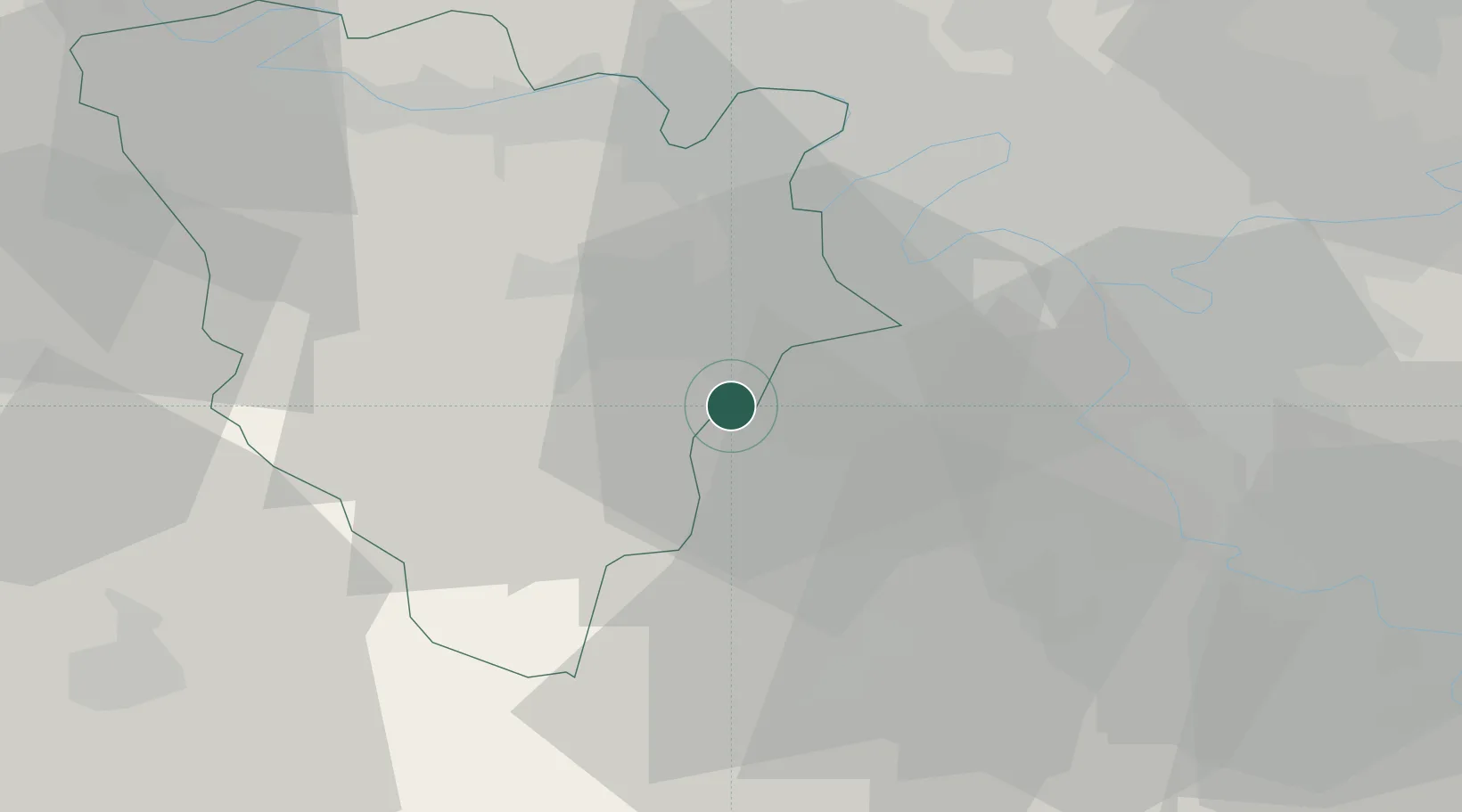
Saint-Rémy-lès-Chevreuse

48.7000°, 2.0667°
8,072
Population
2
Transport functions

Transport Functions

Rail
Road
UN/LOCODE

Hub Profile

Place type
Populated place
GeoNames
Region
Île-de-France
GeoNames
Population
8,072
GeoNames
Time zone
Europe/Paris
GeoNames
Elevation
84 m
GeoNames

Location

Location of FRSRY
Natural Earth 10m (public domain) · Île-de-France · FRSRY · 48.70, 2.07GoogleOSMYandex

Nearby Logistics Neighbours

Cities
  1. 1Les Molières4 km
  2. 2Châteaufort4 km
  3. 3Gif-sur-Yvette5 km
  4. 4Saint-Aubin5 km
  5. 5Le Mesnil-Saint-Denis8 km
Nearest neighbours — logibook spatial index (haversine) over the source coordinates
Ports
  1. 1Port Of Rouen111 km
  2. 2Dieppe155 km
  3. 3Honfleur157 km
  4. 4Le Treport160 km
  5. 5Deauville163 km
Nearest neighbours — logibook spatial index (haversine) over the source coordinates
Airports
  1. 1Toussus-le-Noble Airport7 km
  2. 2Vélizy-Villacoublay Air Base13 km
  3. 3Paris-Orly Airport23 km
  4. 4Paris-Le Bourget International Airport40 km
  5. 5Pontoise-Cormeilles Aerodrome44 km
Nearest neighbours — logibook spatial index (haversine) over the source coordinates
Trade Zones
  1. 1ZFU Trappes10 km
  2. 2ZFU Grigny Viry-Châtillon23 km
  3. 3ZFU Vitry-sur-Seine25 km
  4. 4ZFU Choisy-le-Roi et Orly26 km
  5. 5ZFU Sartrouville27 km
Nearest neighbours — logibook spatial index (haversine) over the source coordinates
DatabookThe Record of Consolidated Knowledge
France beyond logistics?
Browse databook

All Sources

LocationsUN/LOCODE
UN/LOCODE — free
LocationsGeoNames
CC BY 4.0
Portsthe NGA World Port Index
Public domain (US gov)
AirportsOurAirports
Public domain
Trade Zonesthe World Bank SEZ database
CC BY 4.0
Trade ZonesOpen Zone Map
CC BY
← France locations