Transport Functions
Multimodal
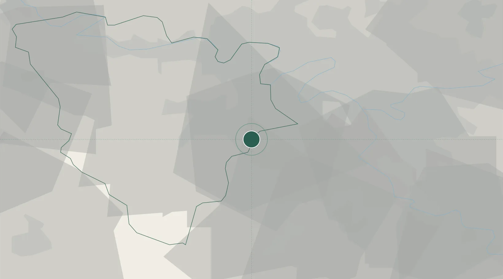
Hub Profile
Place type
Populated place
Region
Île-de-France
Population
1,543
Time zone
Europe/Paris
Elevation
153 m
Location
Nearby Logistics Neighbours
Cities
- 1Saint-Aubin3 km
- 2Les Loges-en-Josas4 km
- 3Gif-sur-Yvette4 km
- 4Saint-Rémy-lès-Chevreuse4 km
- 5Jouy-en-Josas6 km
Ports
- 1Port Of Rouen110 km
- 2Dieppe152 km
- 3Honfleur157 km
- 4Le Treport158 km
- 5Deauville163 km
Airports
Trade Zones
- 1ZFU Trappes9 km
- 2ZFU Vitry-sur-Seine21 km
- 3ZFU Grigny Viry-Châtillon21 km
- 4ZFU Choisy-le-Roi et Orly23 km
- 5ZFU Sartrouville23 km
DatabookThe Record of Consolidated Knowledge
France beyond logistics?