UN/LOCODE hub · France
FRSPW
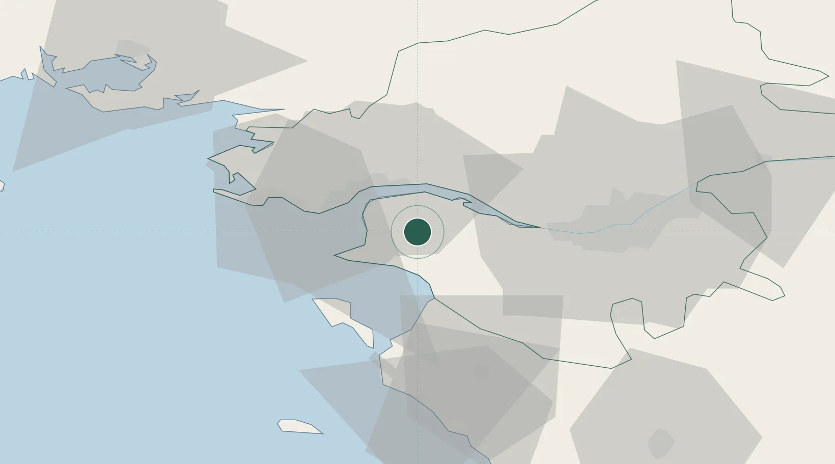
Saint-Père-en-Retz
47.2000°, -2.0333°
3,882
Population
2
Transport functions
Transport Functions
Road
Multimodal
Hub Profile
Place type
Populated place
Region
Pays de la Loire
Population
3,882
Time zone
Europe/Paris
Elevation
19 m
Location
Nearby Logistics Neighbours
Ports
- 1Donges11 km
- 2Montoir13 km
- 3St Nazaire16 km
- 4Nantes35 km
- 5Les Sables D' Olonne80 km
Airports
Trade Zones
- 1ZFU Saint-Nazaire20 km
- 2ZFU Nantes et Saint-Herblain25 km
- 3ZFU Angers113 km
- 4ZFU La Rochelle131 km
- 5ZFU Le Mans184 km
DatabookThe Record of Consolidated Knowledge
France beyond logistics?