UN/LOCODE hub · France
FRSMJ

Saint-Mars-la-Jaille
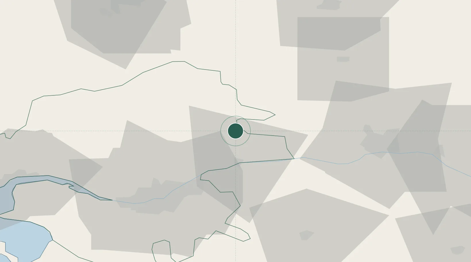
47.5167°, -1.1833°
2,371
Population
2
Transport functions

Transport Functions

Rail
Road
UN/LOCODE

Hub Profile

Place type
Populated place
GeoNames
Region
Pays de la Loire
GeoNames
Population
2,371
GeoNames
Time zone
Europe/Paris
GeoNames
Elevation
29 m
GeoNames

Location

Location of FRSMJ
Natural Earth 10m (public domain) · Pays de la Loire · FRSMJ · 47.52, -1.18GoogleOSMYandex

Nearby Logistics Neighbours

Cities
  1. 1Grand-Auverné15 km
  2. 2Saint-Géréon17 km
  3. 3Liré19 km
  4. 4Oudon20 km
  5. 5Issé23 km
Nearest neighbours — logibook spatial index (haversine) over the source coordinates
Ports
  1. 1Nantes46 km
  2. 2Donges71 km
  3. 3Montoir75 km
  4. 4St Nazaire81 km
  5. 5Les Sables D' Olonne122 km
Nearest neighbours — logibook spatial index (haversine) over the source coordinates
Airports
  1. 1Nantes Atlantique Airport52 km
  2. 2Angers Marcé airport66 km
  3. 3Laval-Entrammes Airport66 km
  4. 4Rennes-Saint-Jacques Airport74 km
  5. 5Saint-Nazaire-Montoir Airport76 km
Nearest neighbours — logibook spatial index (haversine) over the source coordinates
Trade Zones
  1. 1ZFU Angers44 km
  2. 2ZFU Nantes et Saint-Herblain51 km
  3. 3ZFU Saint-Nazaire86 km
  4. 4ZFU Le Mans111 km
  5. 5ZFU Alençon138 km
Nearest neighbours — logibook spatial index (haversine) over the source coordinates
DatabookThe Record of Consolidated Knowledge
France beyond logistics?
Browse databook

All Sources

LocationsUN/LOCODE
UN/LOCODE — free
LocationsGeoNames
CC BY 4.0
Portsthe NGA World Port Index
Public domain (US gov)
AirportsOurAirports
Public domain
Trade Zonesthe World Bank SEZ database
CC BY 4.0
Trade ZonesOpen Zone Map
CC BY
← France locations