UN/LOCODE hub · France
FRSJF
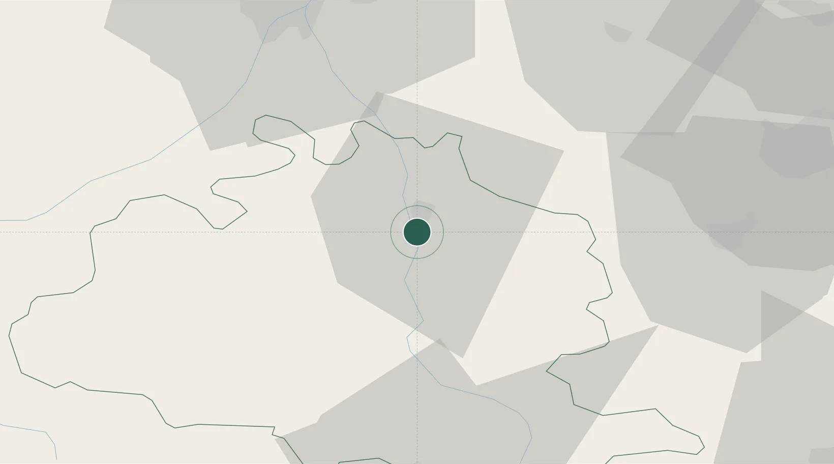
Saint-Jean-du-Falga
43.0833°, 1.6167°
2,418
Population
2
Transport functions
Transport Functions
Rail
Road
Hub Profile
Place type
Populated place
Region
Occitanie
Population
2,418
Time zone
Europe/Paris
Elevation
315 m
Location
Nearby Logistics Neighbours
Cities
- 1Verniolle2 km
- 2Les Pujols8 km
- 3Foix13 km
- 4Dun16 km
- 5Saint-Paul-de-Jarrat19 km
Ports
- 1Port-La-Nouvelle118 km
- 2Port-Vendres138 km
- 3Rosas157 km
- 4Sete172 km
- 5San Feliu De Guixols186 km
Airports
Trade Zones
- 1ZFU Toulouse60 km
- 2ZFU Perpignan112 km
- 3ZFU Béziers133 km
- 4ZFU Montpellier189 km
- 5Zona Franca de Barcelona199 km
DatabookThe Record of Consolidated Knowledge
France beyond logistics?