Transport Functions
Road
Multimodal
Hub Profile
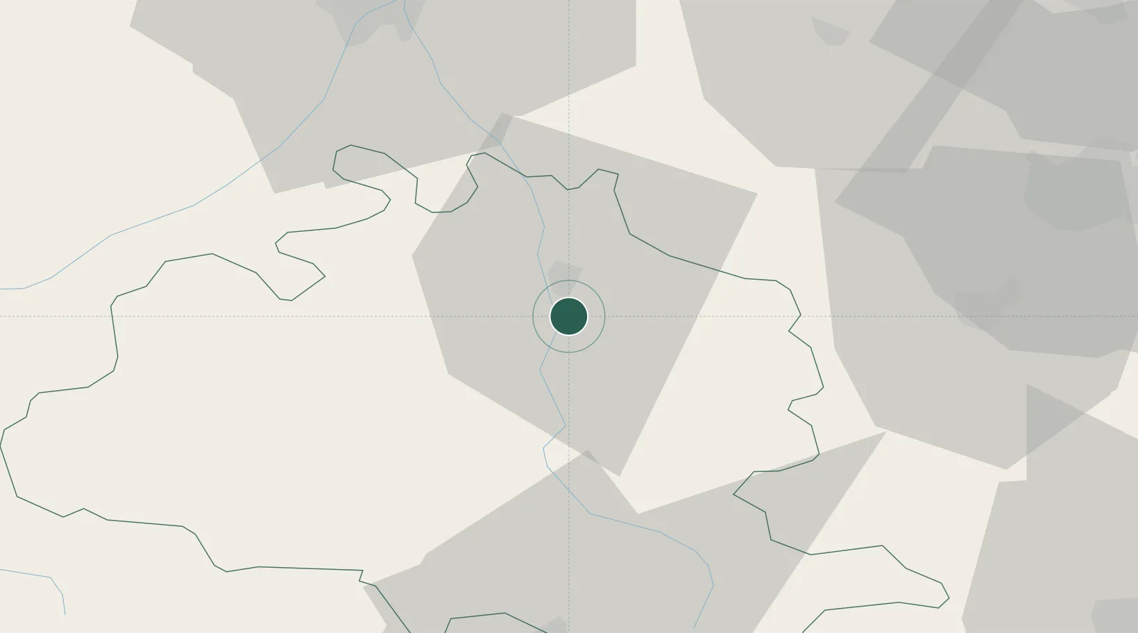
Place type
Populated place
Region
Occitanie
Population
2,140
Time zone
Europe/Paris
Elevation
324 m
Location
Nearby Logistics Neighbours
Cities
- 1Saint-Jean-du-Falga2 km
- 2Les Pujols7 km
- 3Foix11 km
- 4Dun14 km
- 5Saint-Paul-de-Jarrat17 km
Ports
- 1Port-La-Nouvelle117 km
- 2Port-Vendres136 km
- 3Rosas155 km
- 4Sete172 km
- 5San Feliu De Guixols183 km
Airports
Trade Zones
- 1ZFU Toulouse62 km
- 2ZFU Perpignan110 km
- 3ZFU Béziers132 km
- 4ZFU Montpellier189 km
- 5Zona Franca de Barcelona197 km
DatabookThe Record of Consolidated Knowledge
France beyond logistics?