UN/LOCODE hub · France
FRPUD

Les Pujols

43.0833°, 1.7167°
547
Population
2
Transport functions

Transport Functions

Road
Multimodal
UN/LOCODE

Hub Profile

Place type
Populated place
GeoNames
Region
Occitanie
GeoNames
Population
547
GeoNames
Time zone
Europe/Paris
GeoNames
Elevation
322 m
GeoNames

Location

Location of FRPUD
Natural Earth 10m (public domain) · Occitanie · FRPUD · 43.08, 1.72GoogleOSMYandex

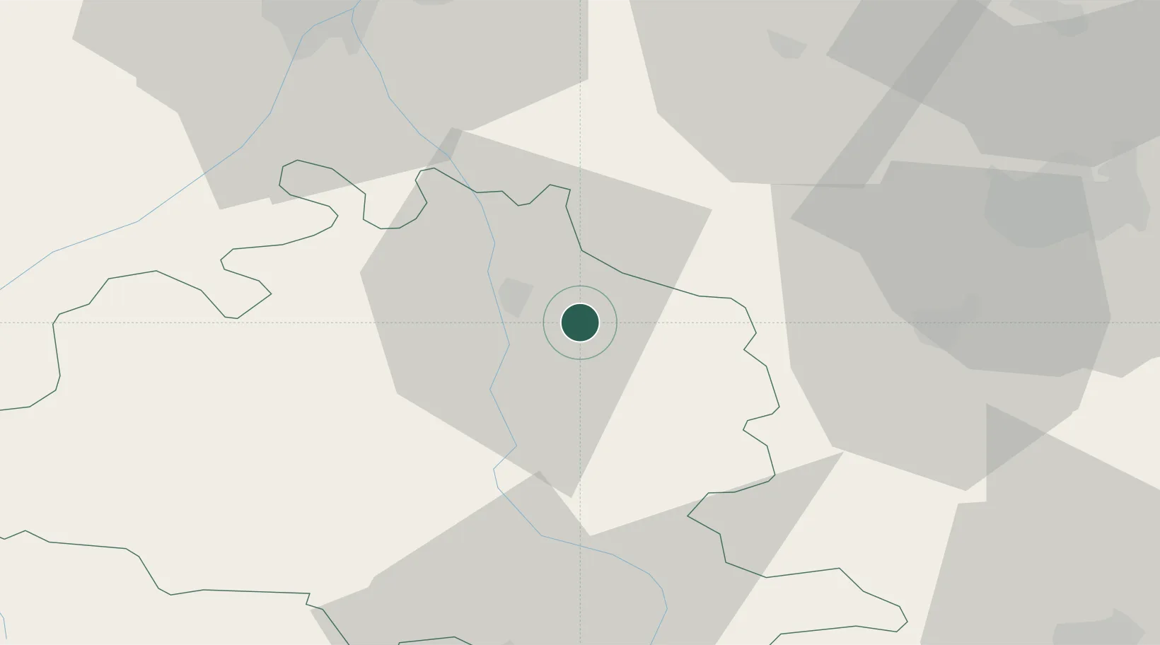
Nearby Logistics Neighbours

Cities
  1. 1Verniolle7 km
  2. 2Saint-Jean-du-Falga8 km
  3. 3Dun9 km
  4. 4Foix16 km
  5. 5Moulin-Neuf19 km
Nearest neighbours — logibook spatial index (haversine) over the source coordinates
Ports
  1. 1Port-La-Nouvelle110 km
  2. 2Port-Vendres130 km
  3. 3Rosas150 km
  4. 4Sete165 km
  5. 5Palamos180 km
Nearest neighbours — logibook spatial index (haversine) over the source coordinates
Airports
  1. 1Carcassonne Salvaza Airport50 km
  2. 2Aérodrome de Saint-Girons - Antichan51 km
  3. 3Toulouse-Francazal (BA 101) Air Base59 km
  4. 4Toulouse-Blagnac Airport67 km
  5. 5Castres Mazamet Airport70 km
Nearest neighbours — logibook spatial index (haversine) over the source coordinates
Trade Zones
  1. 1ZFU Toulouse62 km
  2. 2ZFU Perpignan105 km
  3. 3ZFU Béziers125 km
  4. 4ZFU Montpellier182 km
  5. 5Zona Franca de Barcelona197 km
Nearest neighbours — logibook spatial index (haversine) over the source coordinates
DatabookThe Record of Consolidated Knowledge
France beyond logistics?
Browse databook

All Sources

LocationsUN/LOCODE
UN/LOCODE — free
LocationsGeoNames
CC BY 4.0
Portsthe NGA World Port Index
Public domain (US gov)
AirportsOurAirports
Public domain
Trade Zonesthe World Bank SEZ database
CC BY 4.0
Trade ZonesOpen Zone Map
CC BY
← France locations