UN/LOCODE hub · France
FRSPJ

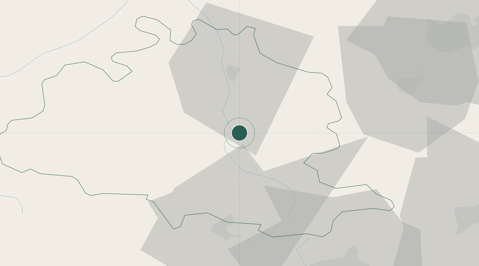
Saint-Paul-de-Jarrat

42.9167°, 1.6500°
1,302
Population
2
Transport functions

Transport Functions

Rail
Road
UN/LOCODE

Hub Profile

Place type
Populated place
GeoNames
Region
Occitanie
GeoNames
Population
1,302
GeoNames
Time zone
Europe/Paris
GeoNames
Elevation
474 m
GeoNames

Location

Location of FRSPJ
Natural Earth 10m (public domain) · Occitanie · FRSPJ · 42.92, 1.65GoogleOSMYandex

Nearby Logistics Neighbours

Cities
  1. 1Foix7 km
  2. 2Villeneuve-d'Olmes14 km
  3. 3Lavelanet16 km
  4. 4Verniolle17 km
  5. 5Dun18 km
Nearest neighbours — logibook spatial index (haversine) over the source coordinates
Ports
  1. 1Port-La-Nouvelle116 km
  2. 2Port-Vendres128 km
  3. 3Rosas145 km
  4. 4San Feliu De Guixols170 km
  5. 5Palamos170 km
Nearest neighbours — logibook spatial index (haversine) over the source coordinates
Airports
  1. 1Aérodrome de Saint-Girons - Antichan46 km
  2. 2Carcassonne Salvaza Airport63 km
  3. 3Pirineus - la Seu d'Urgel Airport67 km
  4. 4Toulouse-Francazal (BA 101) Air Base74 km
  5. 5Toulouse-Blagnac Airport83 km
Nearest neighbours — logibook spatial index (haversine) over the source coordinates
Trade Zones
  1. 1ZFU Toulouse78 km
  2. 2ZFU Perpignan104 km
  3. 3ZFU Béziers135 km
  4. 4Zona Franca de Barcelona180 km
  5. 5ZFU Montpellier194 km
Nearest neighbours — logibook spatial index (haversine) over the source coordinates
DatabookThe Record of Consolidated Knowledge
France beyond logistics?
Browse databook

All Sources

LocationsUN/LOCODE
UN/LOCODE — free
LocationsGeoNames
CC BY 4.0
Portsthe NGA World Port Index
Public domain (US gov)
AirportsOurAirports
Public domain
Trade Zonesthe World Bank SEZ database
CC BY 4.0
Trade ZonesOpen Zone Map
CC BY
← France locations