Transport Functions
Multimodal
Hub Profile
Place type
Populated place
Region
Occitanie
Population
518
Time zone
Europe/Paris
Elevation
331 m
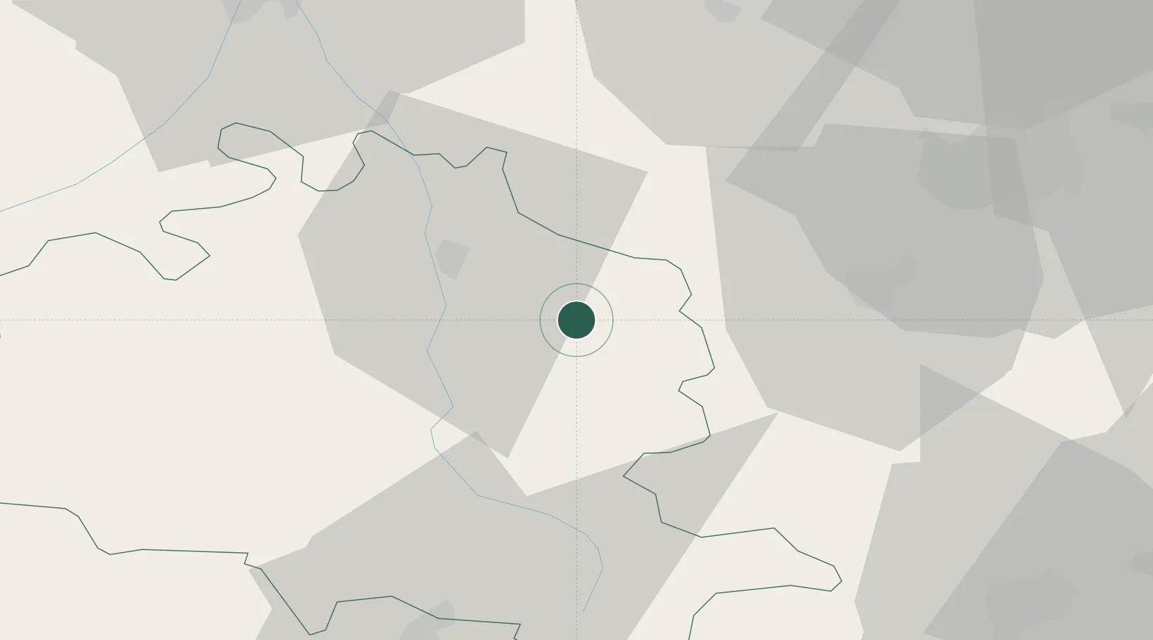
Location
Nearby Logistics Neighbours
Cities
- 1Les Pujols9 km
- 2Léran11 km
- 3Lavelanet12 km
- 4Moulin-Neuf13 km
- 5Verniolle14 km
Ports
- 1Port-La-Nouvelle103 km
- 2Port-Vendres122 km
- 3Rosas142 km
- 4Sete159 km
- 5Palamos172 km
Airports
Trade Zones
- 1ZFU Toulouse70 km
- 2ZFU Perpignan97 km
- 3ZFU Béziers120 km
- 4ZFU Montpellier177 km
- 5Zona Franca de Barcelona191 km
DatabookThe Record of Consolidated Knowledge
France beyond logistics?