Transport Functions
Road
Multimodal
Hub Profile
Place type
Populated place
Region
Pays de la Loire
Population
924
Time zone
Europe/Paris
Elevation
44 m
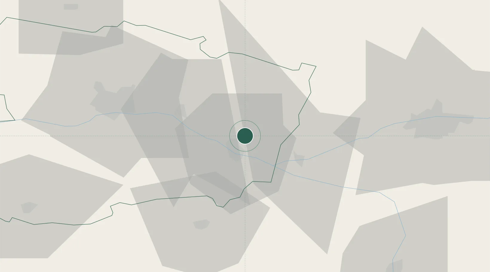
Location
Nearby Logistics Neighbours
Cities
- 1Longue-Jumelles8 km
- 2Saumur8 km
- 3Villebernier9 km
- 4Parnay12 km
- 5Varennes-sur-Loire12 km
Ports
- 1Nantes117 km
- 2Donges153 km
- 3La Rochelle157 km
- 4La Pallice158 km
- 5Montoir158 km
Airports
- 1Angers Marcé airport33 km
- 2Tours Val de Loire Airport58 km
- 3Le Mans-Arnage Airport71 km
- 4Poitiers-Biard Airport87 km
- 5Laval-Entrammes Airport94 km
Trade Zones
- 1ZFU Angers46 km
- 2ZFU Le Mans73 km
- 3ZFU Blois102 km
- 4ZFU Alençon122 km
- 5ZFU Nantes et Saint-Herblain126 km
DatabookThe Record of Consolidated Knowledge
France beyond logistics?