UN/LOCODE hub · France
FRMPQ

Dampierre-sur-Loire

47.2333°, -0.1667°
1
Transport functions

Transport Functions

Multimodal
UN/LOCODE

Hub Profile

Place type
Urban district
GeoNames
Region
Pays de la Loire
GeoNames
Time zone
Europe/Paris
GeoNames
Elevation
39 m
GeoNames

Location

Location of FRMPQ
Natural Earth 10m (public domain) · Pays de la Loire · FRMPQ · 47.23, -0.17GoogleOSMYandex

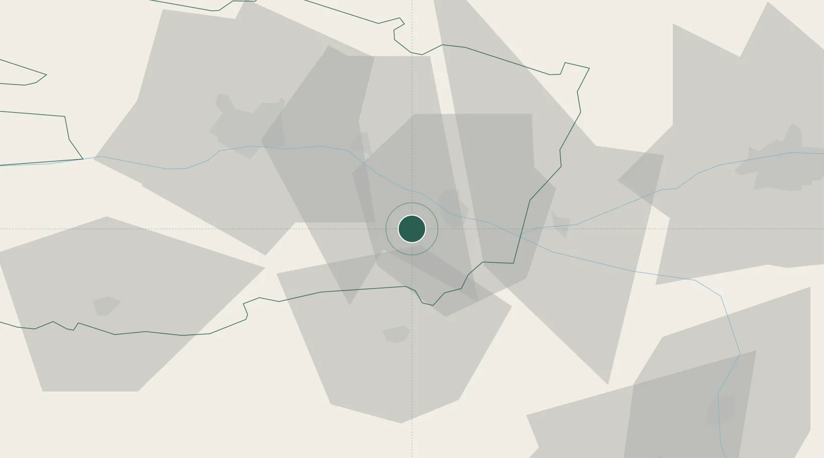
Nearby Logistics Neighbours

Cities
  1. 1Rou-Marson1 km
  2. 2Les Ulmes2 km
  3. 3Meigné3 km
  4. 4Saumur7 km
  5. 5Dénezé-sous-Doué8 km
Nearest neighbours — logibook spatial index (haversine) over the source coordinates
Ports
  1. 1Nantes106 km
  2. 2La Rochelle142 km
  3. 3La Pallice143 km
  4. 4Donges144 km
  5. 5Les Sables D' Olonne149 km
Nearest neighbours — logibook spatial index (haversine) over the source coordinates
Airports
  1. 1Angers Marcé airport38 km
  2. 2Tours Val de Loire Airport71 km
  3. 3Poitiers-Biard Airport80 km
  4. 4Le Mans-Arnage Airport84 km
  5. 5Laval-Entrammes Airport99 km
Nearest neighbours — logibook spatial index (haversine) over the source coordinates
Trade Zones
  1. 1ZFU Angers43 km
  2. 2ZFU Le Mans86 km
  3. 3ZFU Blois115 km
  4. 4ZFU Nantes et Saint-Herblain116 km
  5. 5ZFU Alençon134 km
Nearest neighbours — logibook spatial index (haversine) over the source coordinates
DatabookThe Record of Consolidated Knowledge
France beyond logistics?
Browse databook

All Sources

LocationsUN/LOCODE
UN/LOCODE — free
Portsthe NGA World Port Index
Public domain (US gov)
AirportsOurAirports
Public domain
Trade Zonesthe World Bank SEZ database
CC BY 4.0
Trade ZonesOpen Zone Map
CC BY
← France locations