Transport Functions
Multimodal
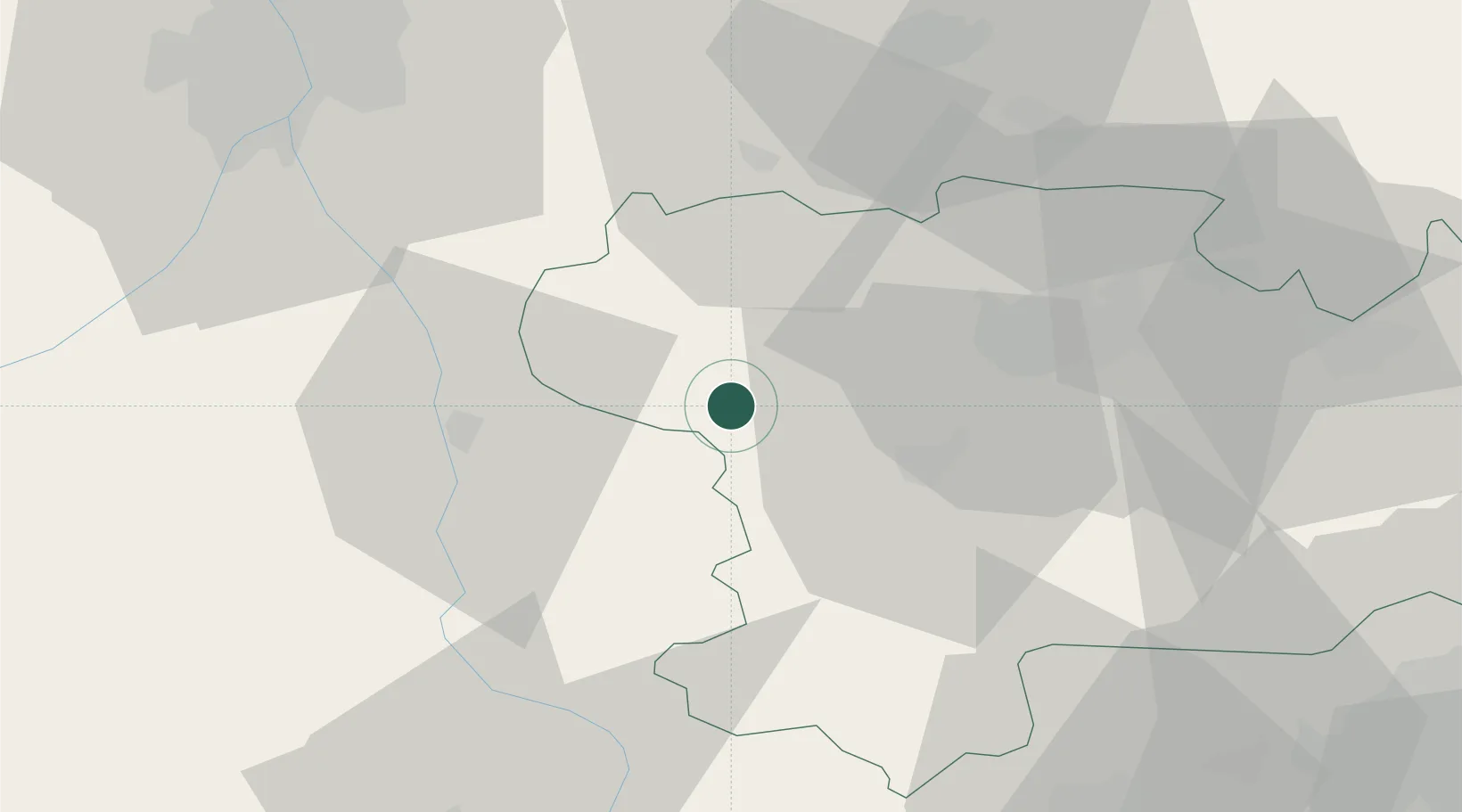
Hub Profile
Place type
Populated place
Region
Occitanie
Population
111
Time zone
Europe/Paris
Elevation
351 m
Location
Nearby Logistics Neighbours
Cities
- 1Moulin-Neuf9 km
- 2Alaigne11 km
- 3Villesiscle14 km
- 4Montréal15 km
- 5Brugairolles15 km
Ports
- 1Port-La-Nouvelle91 km
- 2Port-Vendres117 km
- 3Rosas140 km
- 4Sete143 km
- 5Palamos174 km
Airports
Trade Zones
- 1ZFU Toulouse66 km
- 2ZFU Perpignan91 km
- 3ZFU Béziers103 km
- 4ZFU Montpellier160 km
- 5Zona Franca de Barcelona202 km
DatabookThe Record of Consolidated Knowledge
France beyond logistics?