Transport Functions
Road
Multimodal
Hub Profile
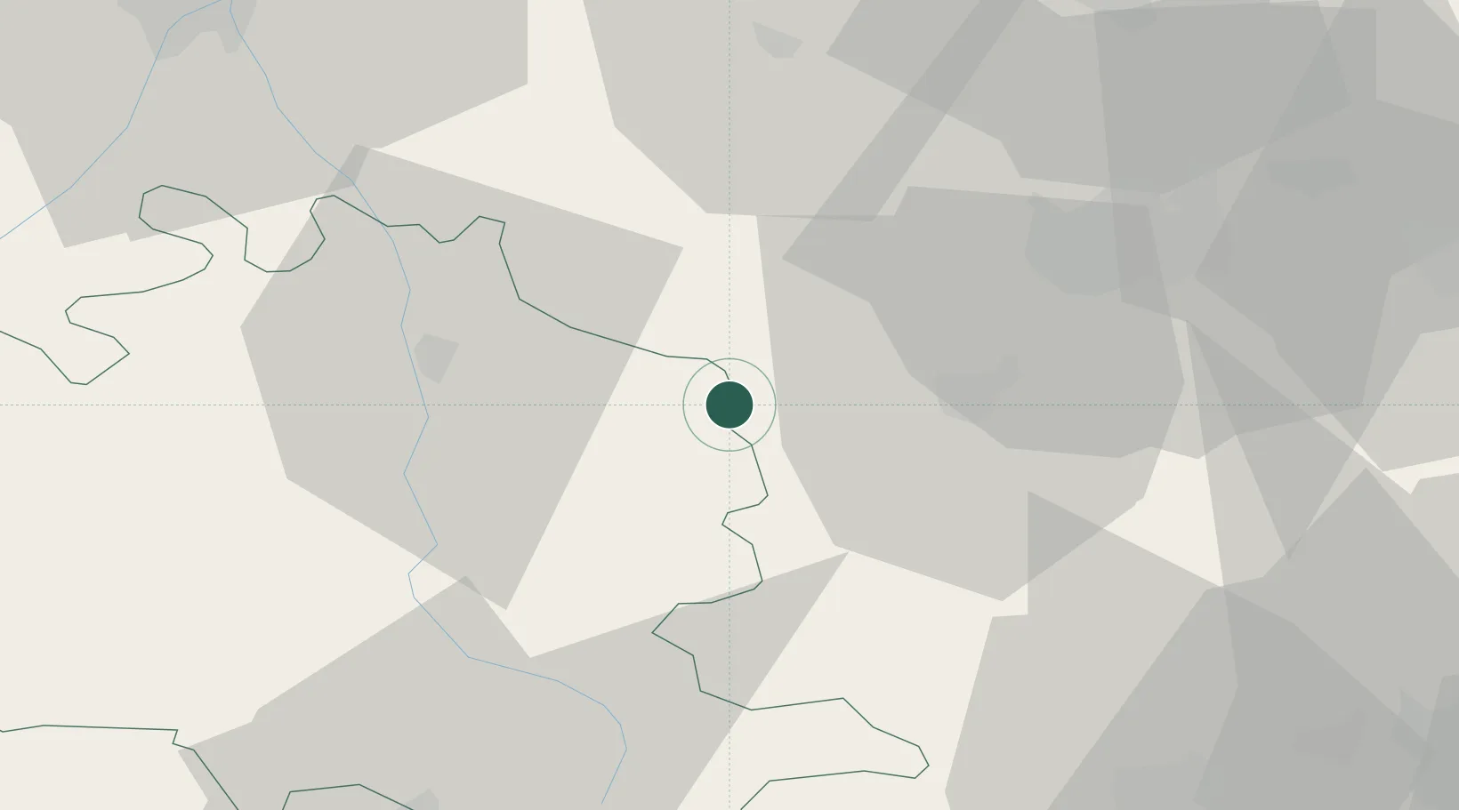
Place type
Populated place
Region
Occitanie
Population
194
Time zone
Europe/Paris
Elevation
329 m
Location
Nearby Logistics Neighbours
Ports
- 1Port-La-Nouvelle91 km
- 2Port-Vendres113 km
- 3Rosas135 km
- 4Sete147 km
- 5Palamos167 km
Airports
Trade Zones
- 1ZFU Toulouse73 km
- 2ZFU Perpignan87 km
- 3ZFU Béziers107 km
- 4ZFU Montpellier165 km
- 5Zona Franca de Barcelona193 km
DatabookThe Record of Consolidated Knowledge
France beyond logistics?