Transport Functions
Multimodal
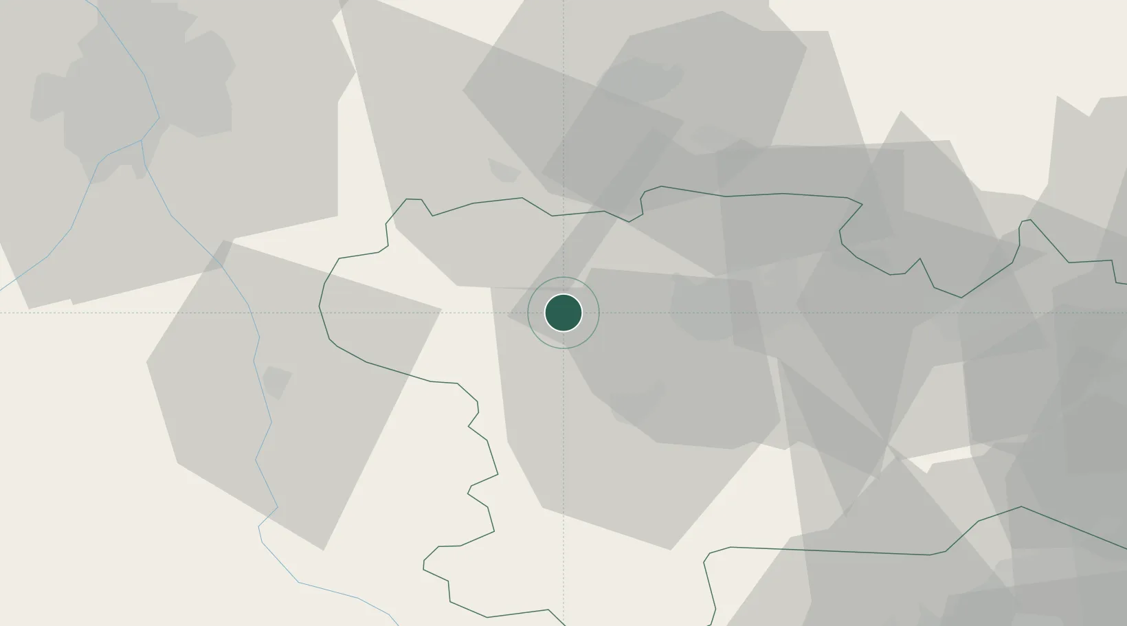
Hub Profile
Place type
Populated place
Region
Occitanie
Population
296
Time zone
Europe/Paris
Elevation
169 m
Location
Nearby Logistics Neighbours
Cities
- 1Bram2 km
- 2Montréal5 km
- 3Raissac-sur-Lampy6 km
- 4Errezil11 km
- 5Villesèquelande11 km
Ports
- 1Port-La-Nouvelle82 km
- 2Port-Vendres115 km
- 3Sete131 km
- 4Rosas139 km
- 5Palamos177 km
Airports
Trade Zones
- 1ZFU Toulouse67 km
- 2ZFU Perpignan88 km
- 3ZFU Béziers91 km
- 4ZFU Montpellier147 km
- 5ZFU Nîmes193 km
DatabookThe Record of Consolidated Knowledge
France beyond logistics?