Transport Functions
Multimodal
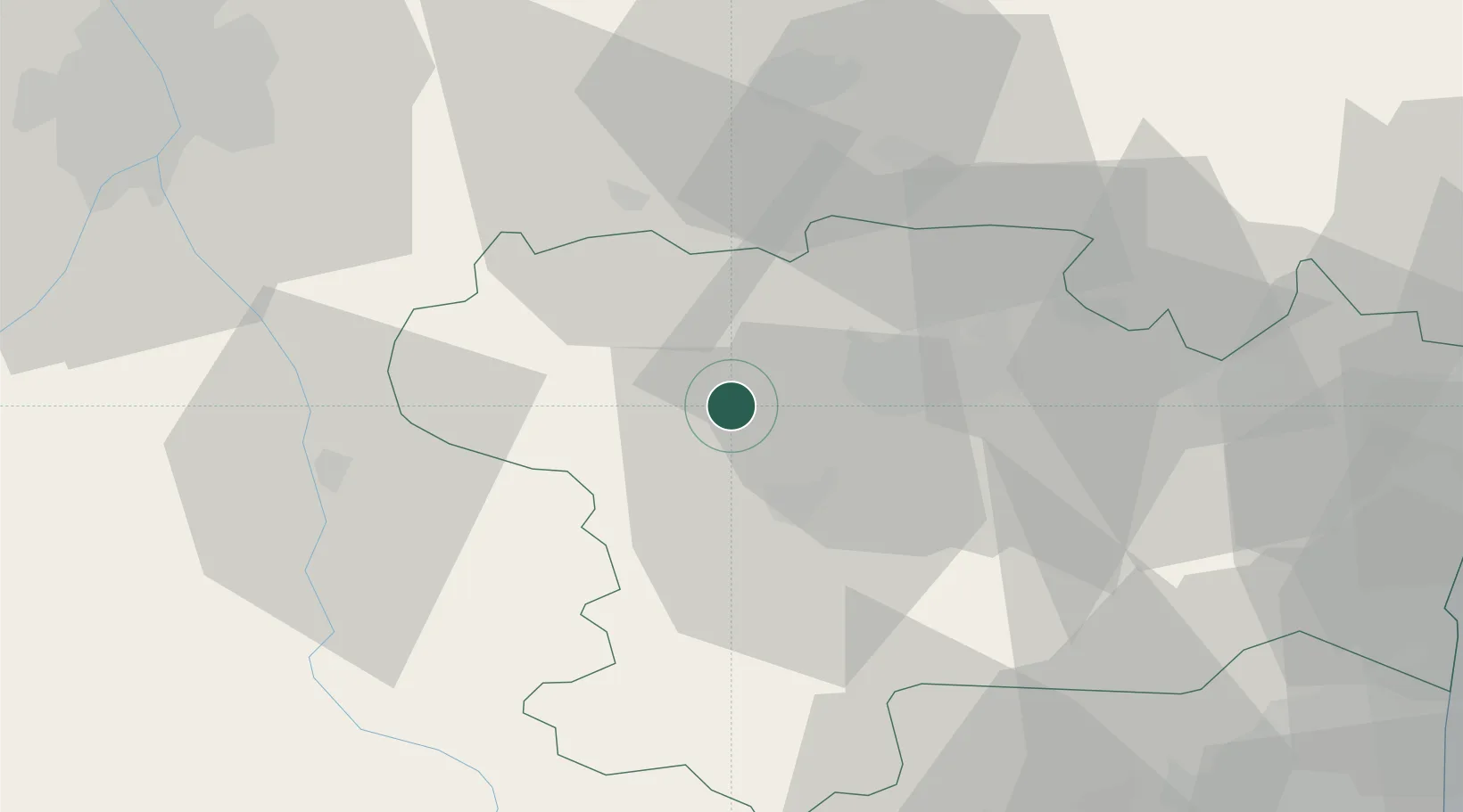
Hub Profile
Place type
Populated place
Region
Occitanie
Population
1,932
Time zone
Europe/Paris
Elevation
260 m
Location
Nearby Logistics Neighbours
Cities
- 1Villesiscle5 km
- 2Bram6 km
- 3Errezil6 km
- 4Raissac-sur-Lampy8 km
- 5Villesèquelande9 km
Ports
- 1Port-La-Nouvelle79 km
- 2Port-Vendres110 km
- 3Sete129 km
- 4Rosas135 km
- 5Palamos172 km
Airports
Trade Zones
- 1ZFU Toulouse72 km
- 2ZFU Perpignan83 km
- 3ZFU Béziers89 km
- 4ZFU Montpellier146 km
- 5ZFU Nîmes191 km
DatabookThe Record of Consolidated Knowledge
France beyond logistics?