Transport Functions
Multimodal
Hub Profile
Place type
Populated place
Region
Occitanie
Population
321
Time zone
Europe/Paris
Elevation
326 m
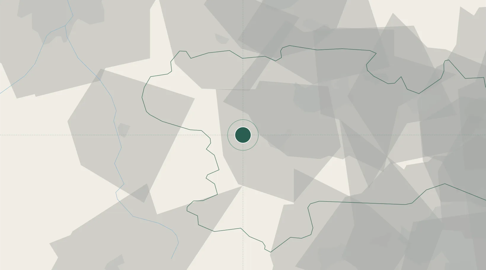
Location
Nearby Logistics Neighbours
Cities
- 1Brugairolles6 km
- 2Lauraguel7 km
- 3Malras8 km
- 4Pauligne8 km
- 5Malviès8 km
Ports
- 1Port-La-Nouvelle80 km
- 2Port-Vendres106 km
- 3Rosas129 km
- 4Sete135 km
- 5Palamos164 km
Airports
Trade Zones
- 1ZFU Toulouse76 km
- 2ZFU Perpignan80 km
- 3ZFU Béziers95 km
- 4ZFU Montpellier153 km
- 5Zona Franca de Barcelona196 km
DatabookThe Record of Consolidated Knowledge
France beyond logistics?