Transport Functions
Multimodal
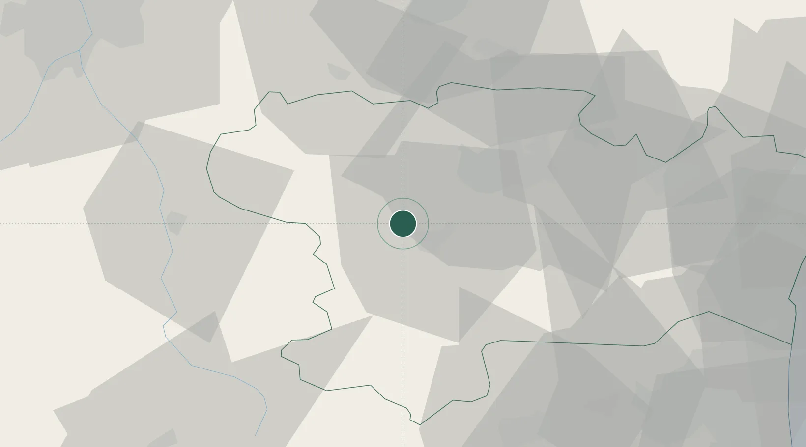
Hub Profile
Place type
Populated place
Region
Occitanie
Population
208
Time zone
Europe/Paris
Elevation
202 m
Location
Nearby Logistics Neighbours
Ports
- 1Port-La-Nouvelle75 km
- 2Port-Vendres103 km
- 3Rosas127 km
- 4Sete129 km
- 5Palamos163 km
Airports
Trade Zones
- 1ZFU Perpignan76 km
- 2ZFU Toulouse79 km
- 3ZFU Béziers90 km
- 4ZFU Montpellier148 km
- 5ZFU Nîmes194 km
DatabookThe Record of Consolidated Knowledge
France beyond logistics?