Transport Functions
Road
Multimodal
Hub Profile
Place type
Populated place
Region
Hauts-de-France
Population
554
Time zone
Europe/Paris
Elevation
166 m
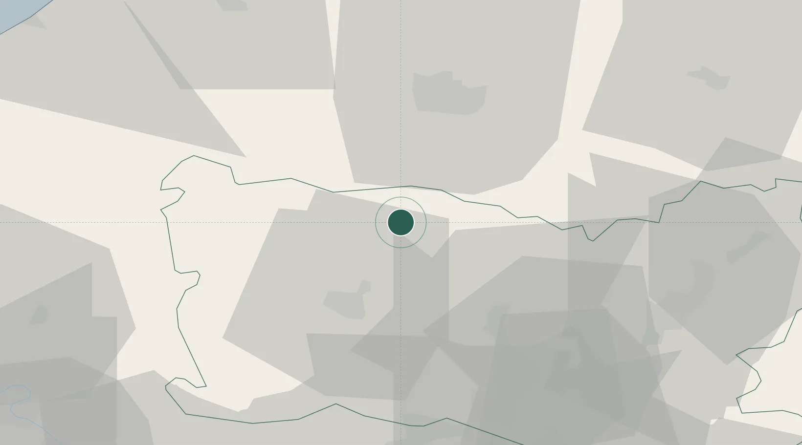
Location
Nearby Logistics Neighbours
Cities
- 1Reuil-sur-Brêche11 km
- 2Flers-sur-Noye13 km
- 3Tilloy-lès-Conty15 km
- 4Tillé18 km
- 5Luilly19 km
Ports
- 1Saint-Valery-Sur-Somme76 km
- 2Le Treport79 km
- 3Port Of Rouen85 km
- 4Dieppe89 km
- 5Boulogne-Sur-Mer132 km
Airports
Trade Zones
- 1ZFU Beauvais23 km
- 2ZFU Amiens30 km
- 3ZFU Creil et Montataire42 km
- 4ZFU Villiers-le-Bel69 km
- 5ZFU Garges-lès-Gonesse et Sarcelles73 km
DatabookThe Record of Consolidated Knowledge
France beyond logistics?