UN/LOCODE hub · France
FRJCE

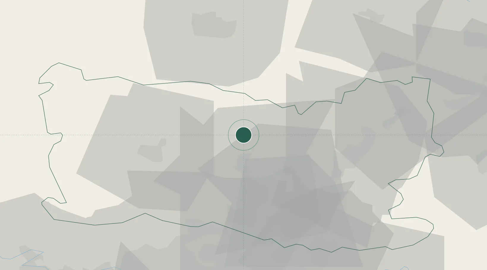
Saint-Just-en-Chaussée

49.5000°, 2.4333°
5,756
Population
2
Transport functions

Transport Functions

Rail
Road
UN/LOCODE

Hub Profile

Place type
Populated place
GeoNames
Region
Hauts-de-France
GeoNames
Population
5,756
GeoNames
Time zone
Europe/Paris
GeoNames
Elevation
99 m
GeoNames

Location

Location of FRJCE
Natural Earth 10m (public domain) · Hauts-de-France · FRJCE · 49.50, 2.43GoogleOSMYandex

Nearby Logistics Neighbours

Cities
  1. 1Breuil-le-Sec13 km
  2. 2Agnetz14 km
  3. 3Clermont15 km
  4. 4Reuil-sur-Brêche16 km
  5. 5Montdidier19 km
Nearest neighbours — logibook spatial index (haversine) over the source coordinates
Ports
  1. 1Saint-Valery-Sur-Somme96 km
  2. 2Port Of Rouen99 km
  3. 3Le Treport99 km
  4. 4Dieppe108 km
  5. 5Boulogne-Sur-Mer150 km
Nearest neighbours — logibook spatial index (haversine) over the source coordinates
Airports
  1. 1Beauvais-Tillé airport24 km
  2. 2Creil Air Base28 km
  3. 3Amiens Glisy Airfield42 km
  4. 4Pontoise-Cormeilles Aerodrome53 km
  5. 5Charles de Gaulle International Airport55 km
Nearest neighbours — logibook spatial index (haversine) over the source coordinates
Trade Zones
  1. 1ZFU Creil et Montataire26 km
  2. 2ZFU Beauvais28 km
  3. 3ZFU Amiens48 km
  4. 4ZFU Villiers-le-Bel55 km
  5. 5ZFU Garges-lès-Gonesse et Sarcelles59 km
Nearest neighbours — logibook spatial index (haversine) over the source coordinates
DatabookThe Record of Consolidated Knowledge
France beyond logistics?
Browse databook

All Sources

LocationsUN/LOCODE
UN/LOCODE — free
LocationsGeoNames
CC BY 4.0
Portsthe NGA World Port Index
Public domain (US gov)
AirportsOurAirports
Public domain
Trade Zonesthe World Bank SEZ database
CC BY 4.0
Trade ZonesOpen Zone Map
CC BY
← France locations