UN/LOCODE hub · France
FRRVV

Plourivo

48.7500°, -3.0667°
2,094
Population
1
Transport functions

Transport Functions

Multimodal
UN/LOCODE

Hub Profile

Place type
Populated place
GeoNames
Region
Brittany
GeoNames
Population
2,094
GeoNames
Time zone
Europe/Paris
GeoNames
Elevation
71 m
GeoNames

Location

Location of FRRVV
Natural Earth 10m (public domain) · Brittany · FRRVV · 48.75, -3.07GoogleOSMYandex

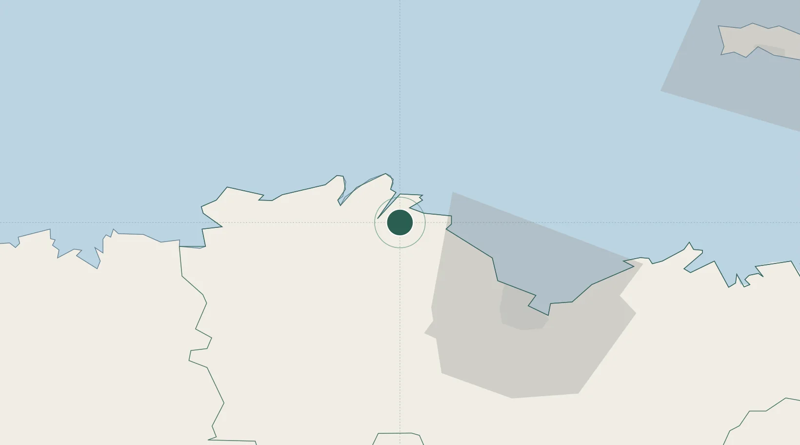
Nearby Logistics Neighbours

Cities
  1. 1Paimpol4 km
  2. 2Lézardrieux4 km
  3. 3Quemper-Guézennec6 km
  4. 4Plouézec6 km
  5. 5Le Faouët7 km
Nearest neighbours — logibook spatial index (haversine) over the source coordinates
Ports
  1. 1Paimpol4 km
  2. 2Lezardrieux5 km
  3. 3Pontrieux7 km
  4. 4Treguier13 km
  5. 5Le Legue34 km
Nearest neighbours — logibook spatial index (haversine) over the source coordinates
Airports
  1. 1Saint-Brieuc-Armor Airport28 km
  2. 2Lannion Airport30 km
  3. 3Morlaix-Ploujean Airport57 km
  4. 4Dinard Pleurtuit Saint-Malo airport75 km
  5. 5Jersey Airport82 km
Nearest neighbours — logibook spatial index (haversine) over the source coordinates
Trade Zones
  1. 1ZFU Cherbourg-Octeville142 km
  2. 2ZFU Saint-Nazaire174 km
  3. 3Oceansgate Plymouth197 km
  4. 4Heart of the South West Enterprise Zone197 km
  5. 5ZFU Nantes et Saint-Herblain198 km
Nearest neighbours — logibook spatial index (haversine) over the source coordinates
DatabookThe Record of Consolidated Knowledge
France beyond logistics?
Browse databook

All Sources

LocationsUN/LOCODE
UN/LOCODE — free
LocationsGeoNames
CC BY 4.0
Portsthe NGA World Port Index
Public domain (US gov)
AirportsOurAirports
Public domain
Trade Zonesthe World Bank SEZ database
CC BY 4.0
Trade ZonesOpen Zone Map
CC BY
← France locations