Transport Functions
Port
Rail
Hub Profile
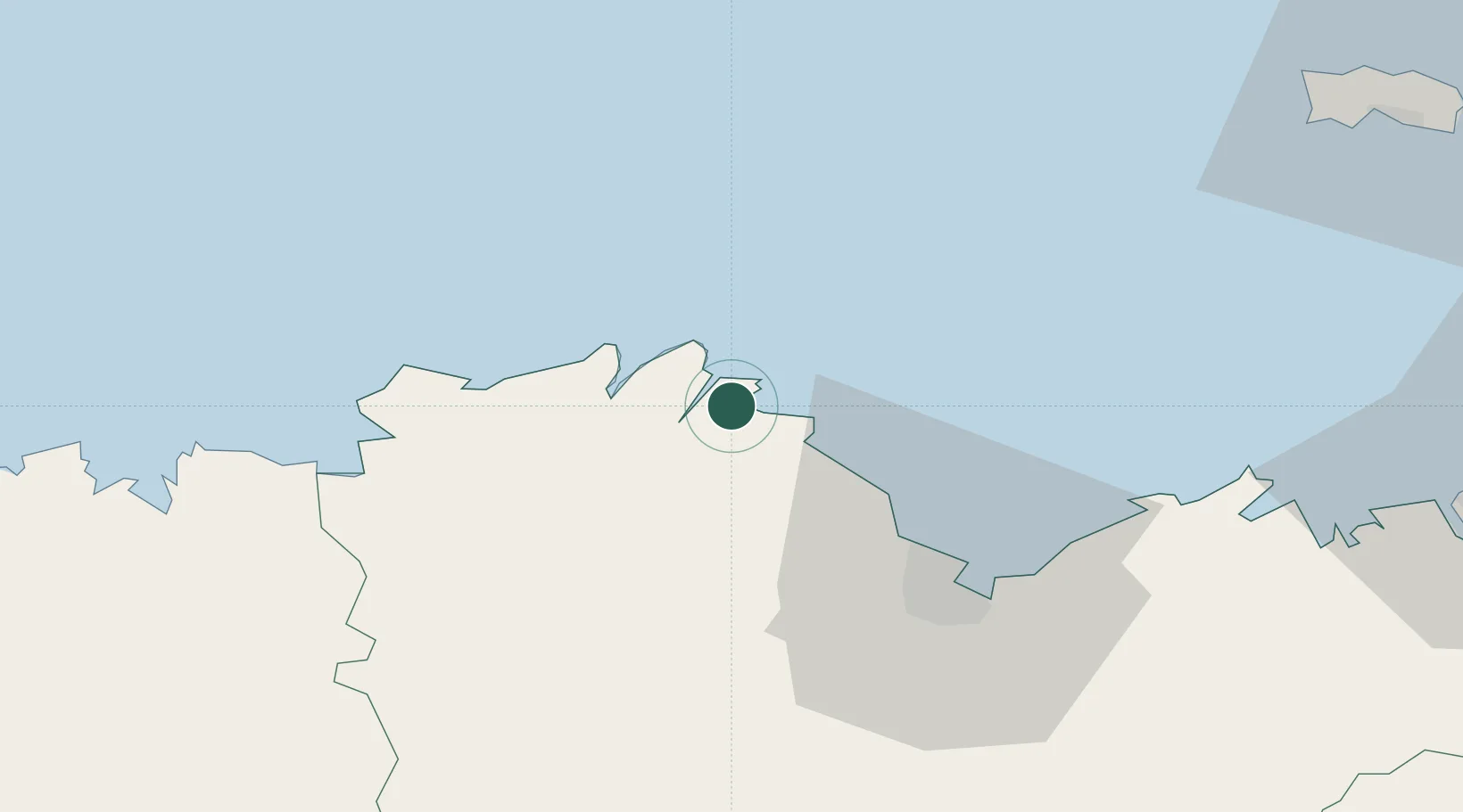
Place type
Populated place
Region
Brittany
Population
8,603
Time zone
Europe/Paris
Elevation
6 m
Location
Nearby Logistics Neighbours
Cities
- 1Lézardrieux4 km
- 2Plourivo4 km
- 3Plouézec6 km
- 4Lanmodez8 km
- 5Lanloup10 km
Ports
- 1Lezardrieux4 km
- 2Pontrieux11 km
- 3Treguier13 km
- 4Le Legue36 km
- 5Morlaix62 km
Airports
- 1Saint-Brieuc-Armor Airport31 km
- 2Lannion Airport31 km
- 3Morlaix-Ploujean Airport60 km
- 4Dinard Pleurtuit Saint-Malo airport75 km
- 5Jersey Airport78 km
Trade Zones
- 1ZFU Cherbourg-Octeville139 km
- 2ZFU Saint-Nazaire177 km
- 3Oceansgate Plymouth194 km
- 4Heart of the South West Enterprise Zone194 km
- 5ZFU La Guérinière, La Grâce de Dieu198 km
DatabookThe Record of Consolidated Knowledge
France beyond logistics?