Transport Functions
Port
Hub Profile
Place type
Populated place
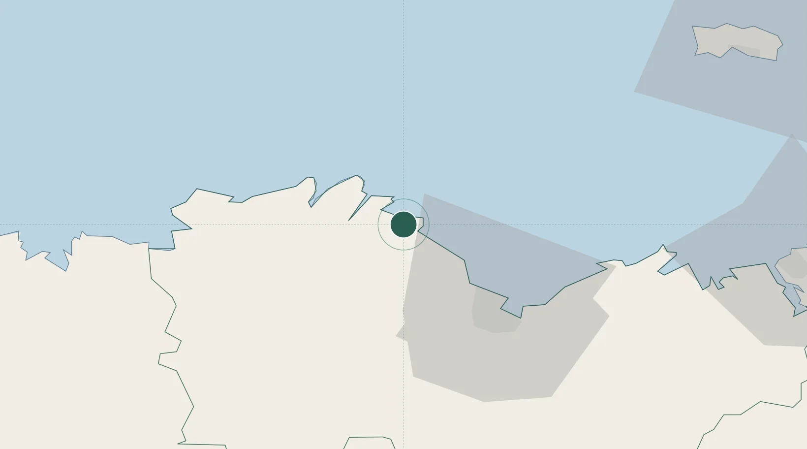
Region
Brittany
Population
3,321
Time zone
Europe/Paris
Elevation
98 m
Location
Nearby Logistics Neighbours
Cities
- 1Lanloup4 km
- 2Plourivo6 km
- 3Paimpol6 km
- 4Lézardrieux9 km
- 5Le Faouët10 km
Ports
- 1Paimpol6 km
- 2Lezardrieux10 km
- 3Pontrieux13 km
- 4Treguier19 km
- 5Le Legue30 km
Airports
- 1Saint-Brieuc-Armor Airport25 km
- 2Lannion Airport36 km
- 3Morlaix-Ploujean Airport63 km
- 4Dinard Pleurtuit Saint-Malo airport69 km
- 5Jersey Airport77 km
Trade Zones
- 1ZFU Cherbourg-Octeville138 km
- 2ZFU Saint-Nazaire172 km
- 3ZFU La Guérinière, La Grâce de Dieu194 km
- 4ZFU Nantes et Saint-Herblain195 km
- 5ZFU Hérouville-Saint-Clair199 km
DatabookThe Record of Consolidated Knowledge
France beyond logistics?