Transport Functions
Road
Multimodal
Hub Profile
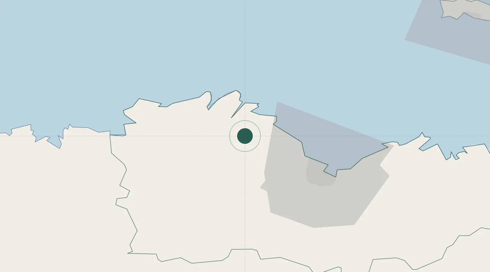
Place type
Populated place
Region
Brittany
Population
287
Time zone
Europe/Paris
Elevation
70 m
Location
Nearby Logistics Neighbours
Cities
- 1Quemper-Guézennec3 km
- 2Plourivo7 km
- 3Pontrieux8 km
- 4Lanloup8 km
- 5Lanvollon8 km
Ports
- 1Pontrieux7 km
- 2Paimpol11 km
- 3Lezardrieux12 km
- 4Treguier17 km
- 5Le Legue29 km
Airports
- 1Saint-Brieuc-Armor Airport23 km
- 2Lannion Airport31 km
- 3Morlaix-Ploujean Airport56 km
- 4Dinard Pleurtuit Saint-Malo airport73 km
- 5Landivisiau Air Base82 km
Trade Zones
- 1ZFU Cherbourg-Octeville147 km
- 2ZFU Saint-Nazaire167 km
- 3ZFU Nantes et Saint-Herblain192 km
- 4ZFU La Guérinière, La Grâce de Dieu202 km
- 5Oceansgate Plymouth204 km
DatabookThe Record of Consolidated Knowledge
France beyond logistics?