UN/LOCODE hub · France
FRQPG
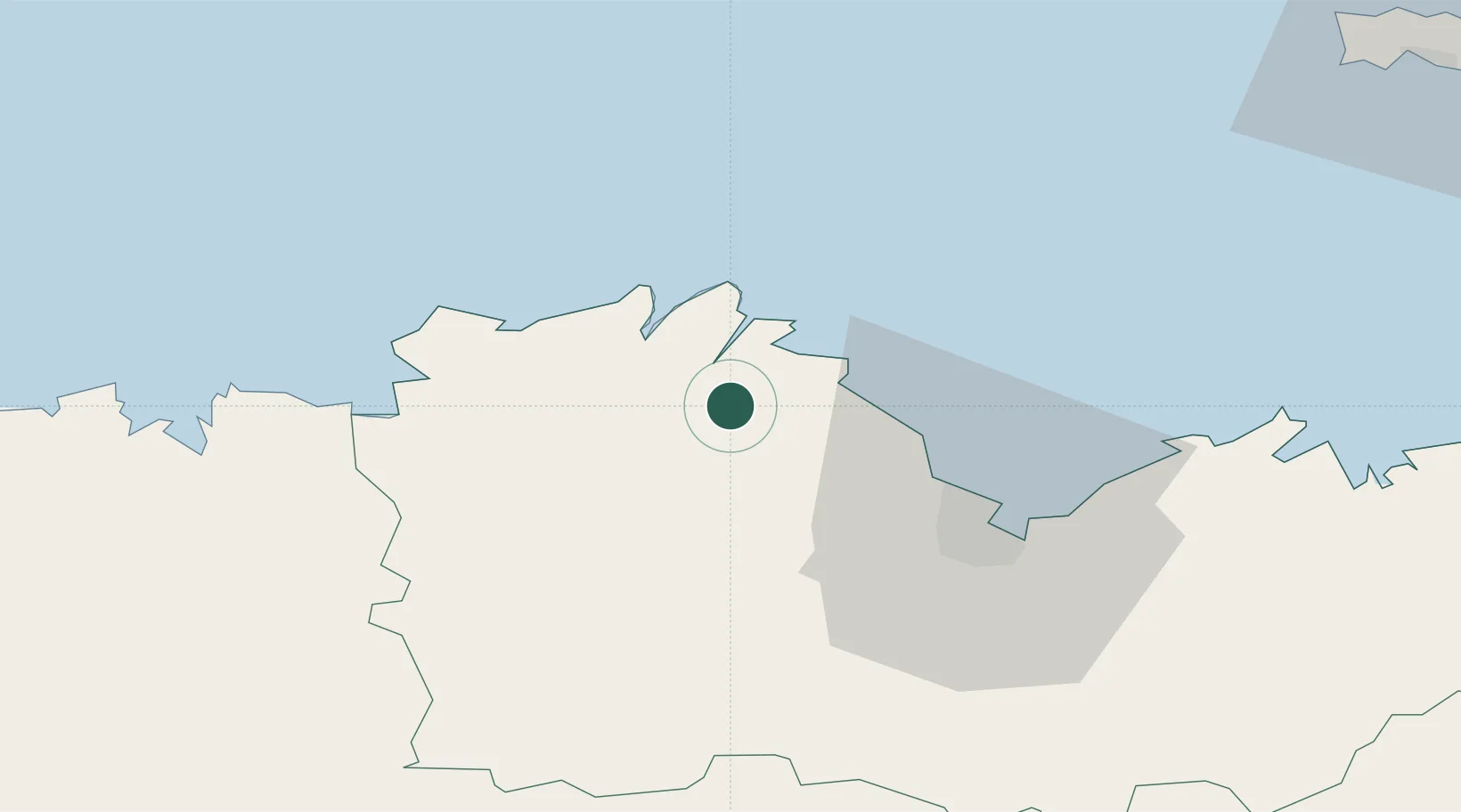
Quemper-Guézennec
48.7000°, -3.1000°
1,074
Population
2
Transport functions
Transport Functions
Road
Multimodal
Hub Profile
Place type
Populated place
Region
Brittany
Population
1,074
Time zone
Europe/Paris
Elevation
67 m
Location
Nearby Logistics Neighbours
Cities
- 1Le Faouët3 km
- 2Pontrieux5 km
- 3Plourivo6 km
- 4Lézardrieux9 km
- 5Lanloup10 km
Ports
- 1Pontrieux4 km
- 2Paimpol10 km
- 3Lezardrieux10 km
- 4Treguier14 km
- 5Le Legue32 km
Airports
- 1Saint-Brieuc-Armor Airport26 km
- 2Lannion Airport28 km
- 3Morlaix-Ploujean Airport54 km
- 4Dinard Pleurtuit Saint-Malo airport76 km
- 5Landivisiau Air Base80 km
Trade Zones
- 1ZFU Cherbourg-Octeville148 km
- 2ZFU Saint-Nazaire170 km
- 3ZFU Nantes et Saint-Herblain194 km
- 4Oceansgate Plymouth202 km
- 5Heart of the South West Enterprise Zone202 km
DatabookThe Record of Consolidated Knowledge
France beyond logistics?