UN/LOCODE hub · France
FRLEZ

Lézardrieux

48.7833°, -3.1000°
1,708
Population
1
Transport functions

Transport Functions

Port
UN/LOCODE

Hub Profile

Place type
Populated place
GeoNames
Region
Brittany
GeoNames
Population
1,708
GeoNames
Time zone
Europe/Paris
GeoNames
Elevation
23 m
GeoNames

Location

Location of FRLEZ
Natural Earth 10m (public domain) · Brittany · FRLEZ · 48.78, -3.10GoogleOSMYandex

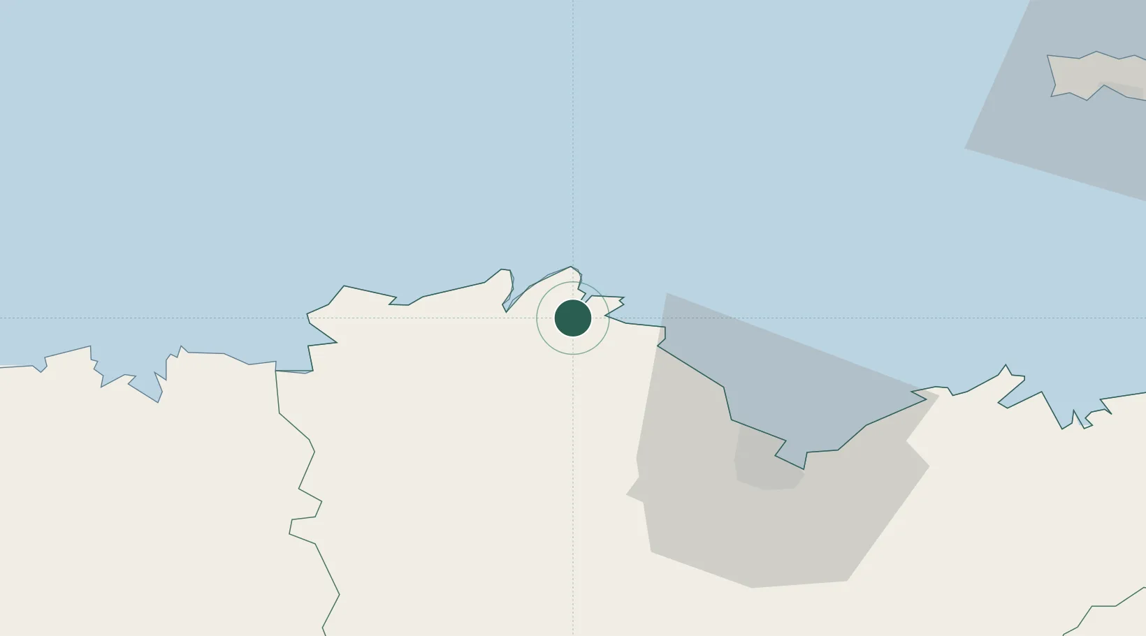
Nearby Logistics Neighbours

Cities
  1. 1Paimpol4 km
  2. 2Plourivo4 km
  3. 3Trédarzec7 km
  4. 4Lanmodez7 km
  5. 5Quemper-Guézennec9 km
Nearest neighbours — logibook spatial index (haversine) over the source coordinates
Ports
  1. 1Lezardrieux1 km
  2. 2Paimpol4 km
  3. 3Pontrieux9 km
  4. 4Treguier10 km
  5. 5Le Legue38 km
Nearest neighbours — logibook spatial index (haversine) over the source coordinates
Airports
  1. 1Lannion Airport27 km
  2. 2Saint-Brieuc-Armor Airport33 km
  3. 3Morlaix-Ploujean Airport56 km
  4. 4Dinard Pleurtuit Saint-Malo airport78 km
  5. 5Guernsey Airport81 km
Nearest neighbours — logibook spatial index (haversine) over the source coordinates
Trade Zones
  1. 1ZFU Cherbourg-Octeville141 km
  2. 2ZFU Saint-Nazaire178 km
  3. 3Oceansgate Plymouth193 km
  4. 4Heart of the South West Enterprise Zone193 km
  5. 5ZFU La Guérinière, La Grâce de Dieu202 km
Nearest neighbours — logibook spatial index (haversine) over the source coordinates
DatabookThe Record of Consolidated Knowledge
France beyond logistics?
Browse databook

All Sources

LocationsUN/LOCODE
UN/LOCODE — free
LocationsGeoNames
CC BY 4.0
Portsthe NGA World Port Index
Public domain (US gov)
AirportsOurAirports
Public domain
Trade Zonesthe World Bank SEZ database
CC BY 4.0
Trade ZonesOpen Zone Map
CC BY
← France locations