Transport Functions
Road
Multimodal
Hub Profile
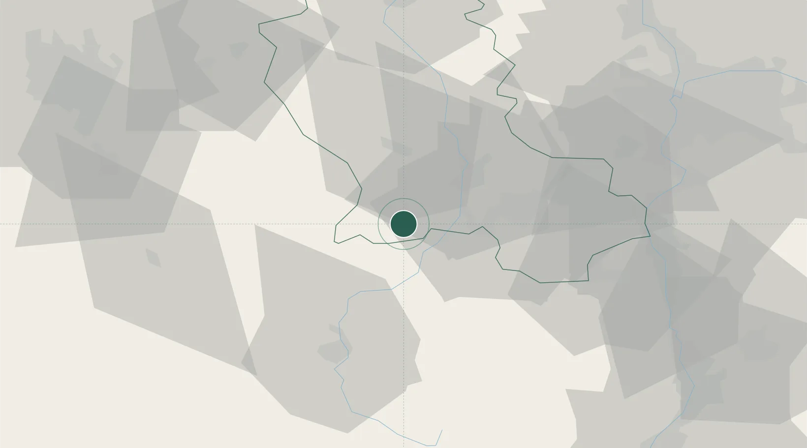
Place type
Populated place
Region
Rhône-Alpes
Population
476
Time zone
Europe/Paris
Elevation
810 m
Location
Nearby Logistics Neighbours
Cities
- 1Beauzac17 km
- 2Bonson18 km
- 3Saint-Didier-en-Velay19 km
- 4Saint-Just-Malmont20 km
- 5La Ricamarie22 km
Ports
- 1Sete225 km
- 2Fos230 km
- 3Port Saint Louis Du Rhone232 km
- 4Port-de-Bouc234 km
- 5Marseille253 km
Airports
Trade Zones
- 1ZFU Saint-Etienne17 km
- 2ZFU Vénissieux68 km
- 3ZFU Lyon 9e70 km
- 4ZFU Rillieux-la-Pape77 km
- 5ZFU Vaulx-en-Velin78 km
DatabookThe Record of Consolidated Knowledge
France beyond logistics?