Transport Functions
Road
Multimodal
Hub Profile
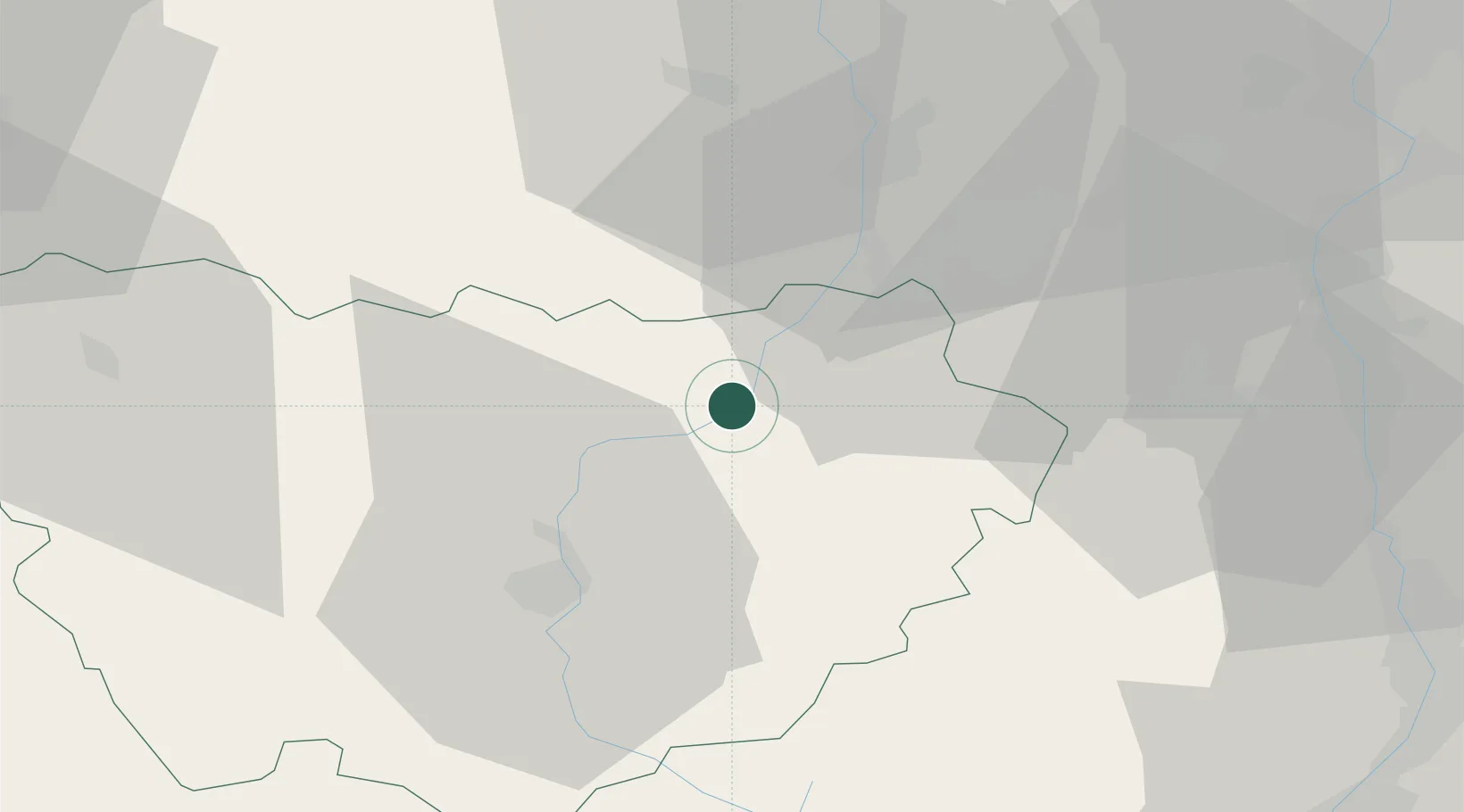
Place type
Populated place
Region
Rhône-Alpes
Population
2,162
Time zone
Europe/Paris
Elevation
557 m
Location
Nearby Logistics Neighbours
Cities
- 1Retournac8 km
- 2Saint-Didier-en-Velay15 km
- 3La Tourette17 km
- 4Saint-Just-Malmont19 km
- 5La Ricamarie27 km
Ports
- 1Sete208 km
- 2Fos213 km
- 3Port Saint Louis Du Rhone215 km
- 4Port-de-Bouc217 km
- 5Marseille237 km
Airports
Trade Zones
- 1ZFU Saint-Etienne25 km
- 2ZFU Valence69 km
- 3ZFU Vénissieux77 km
- 4ZFU Lyon 9e80 km
- 5ZFU Vaulx-en-Velin87 km
DatabookThe Record of Consolidated Knowledge
France beyond logistics?