Economic Revitalization Project · France

ZFU Vaulx-en-Velin Active
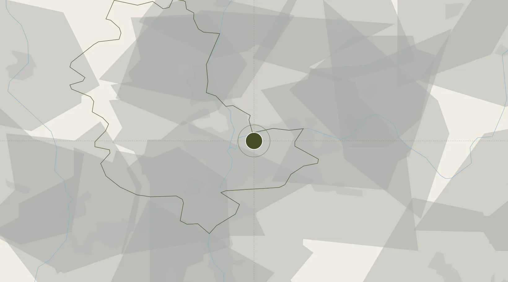
45.7812°, 4.9225°
223 ha
Zone area
262.9 km
Nearest port
6.2 km
Nearest airport

Gateway access

Nearest neighbours — logibook spatial index (haversine) over the source coordinates

Zone profile

Zone type
Economic Revitalization Project
Open Zone Map
Region
Rhône
Open Zone Map
Status
Active
Open Zone Map
Management
Public
Open Zone Map
Operator
Ville de Vaulx-en-Velin
Open Zone Map
Legal framework
Décret no 65-939 du 8 novembre 1965, Décret du 9 Octobre 2008
Open Zone Map

Location

Location of ozm-2000
Natural Earth 10m (public domain) · Rhône · ozm-2000 · 45.78, 4.92GoogleOSMYandex

Nearby Logistics Neighbours

Ports
  1. 1Fos263 km
  2. 2Port-de-Bouc265 km
  3. 3Port Saint Louis Du Rhone267 km
  4. 4Marseille276 km
  5. 5Sete282 km
Nearest neighbours — logibook spatial index (haversine) over the source coordinates
Airports
  1. 1Lyon Bron Airport6 km
  2. 2Lyon Saint-Exupéry Airport14 km
  3. 3Ambérieu Air Base (BA 278)39 km
  4. 4Saint-Étienne-Bouthéon Airport56 km
  5. 5Grenoble Alpes Isère Airport56 km
Nearest neighbours — logibook spatial index (haversine) over the source coordinates
Cities
  1. 1Miribel5 km
  2. 2Guillotière/Lyon7 km
  3. 3Saint-Maurice-de-Beynost7 km
  4. 4Vénissieux8 km
  5. 5Saint-Cyr-au-Mont-d'Or9 km
Nearest neighbours — logibook spatial index (haversine) over the source coordinates
Trade Zones
  1. 1ZFU Rillieux-la-Pape7 km
  2. 2ZFU Lyon 9e9 km
  3. 3ZFU Vénissieux11 km
  4. 4ZFU Saint-Etienne63 km
  5. 5ZFU Grenoble89 km
Nearest neighbours — logibook spatial index (haversine) over the source coordinates
DatabookThe Record of Consolidated Knowledge
France beyond logistics?
Browse databook

All Sources

Trade ZonesOpen Zone Map
CC BY
Portsthe NGA World Port Index
Public domain (US gov)
AirportsOurAirports
Public domain
LocationsUN/LOCODE
UN/LOCODE — free
← France trade zones