Transport Functions
Rail
Road
Multimodal
Hub Profile
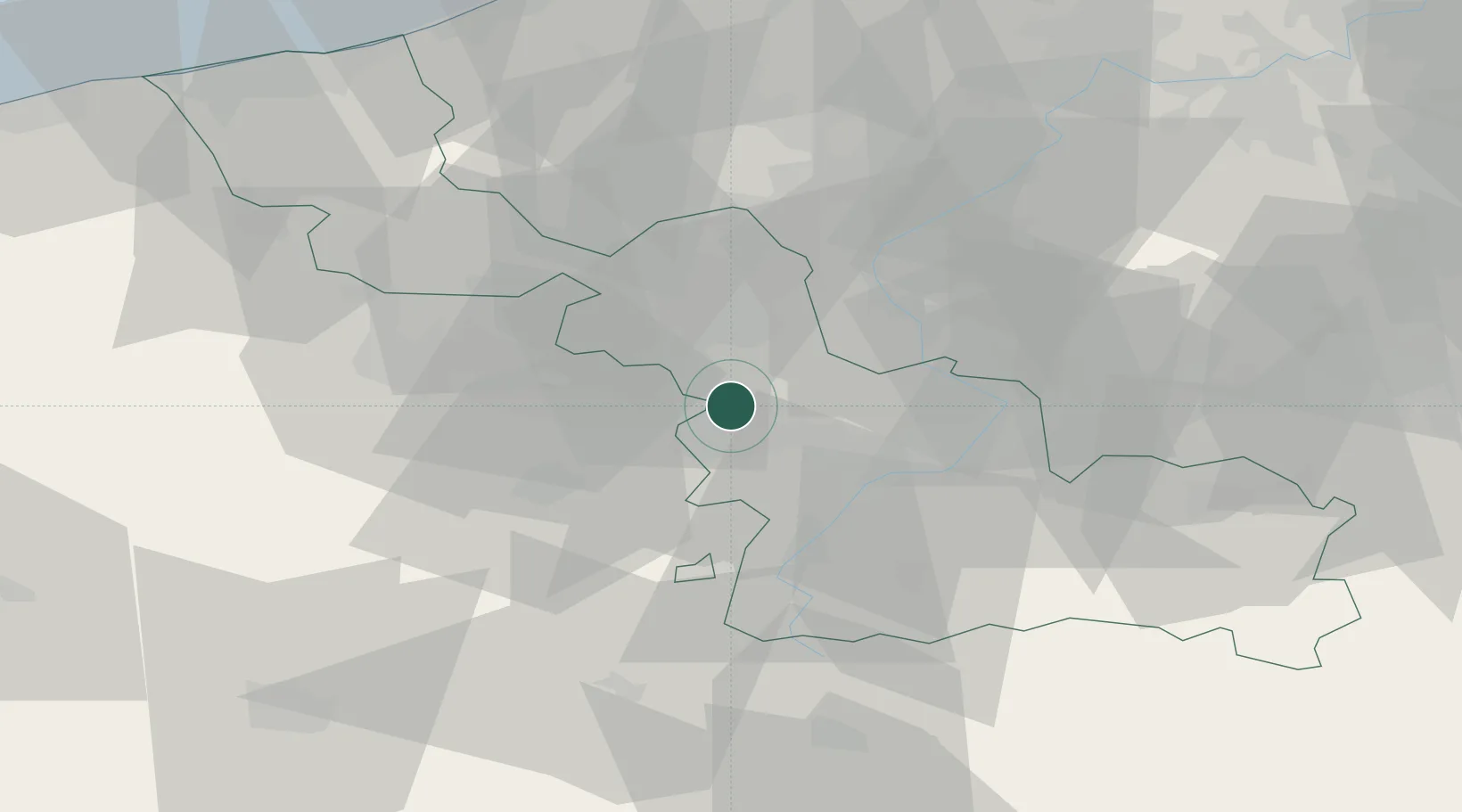
Place type
Populated place
Region
Hauts-de-France
Population
4,450
Time zone
Europe/Paris
Elevation
24 m
Location
Nearby Logistics Neighbours
Cities
- 1Mons-en-Pévèle6 km
- 2Courcelles-lès-Lens6 km
- 3Thumeries7 km
- 4Lauwin-Planque7 km
- 5Mérignies8 km
Ports
- 1Nieuwpoort82 km
- 2Ghent83 km
- 3Dunkerque Port Est88 km
- 4Bruges89 km
- 5Oostende90 km
Airports
DatabookThe Record of Consolidated Knowledge
France beyond logistics?