Transport Functions
Multimodal
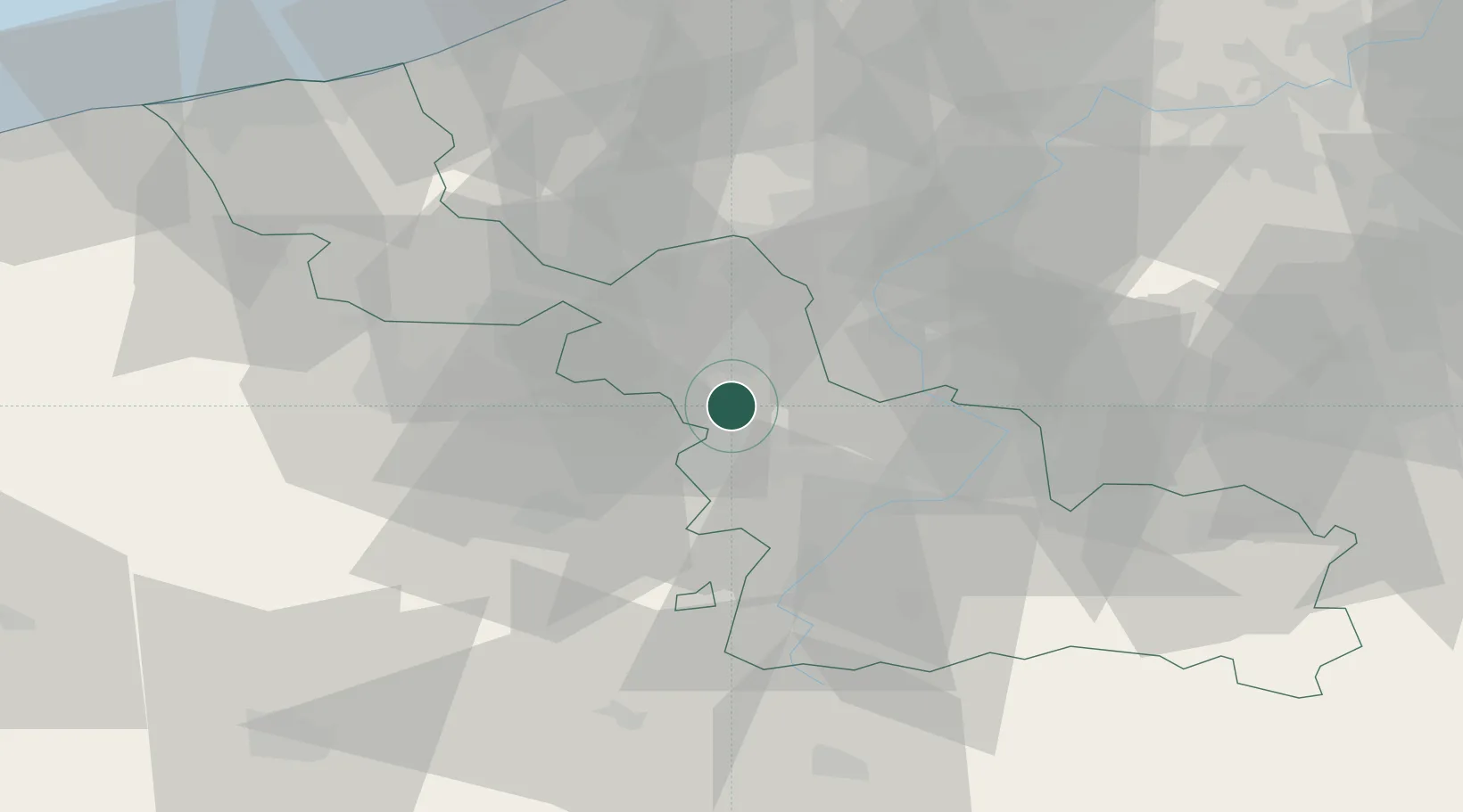
Hub Profile
Place type
Populated place
Region
Hauts-de-France
Population
2,099
Time zone
Europe/Paris
Elevation
83 m
Location
Nearby Logistics Neighbours
Cities
- 1Mérignies2 km
- 2Thumeries4 km
- 3Raimbeaucourt6 km
- 4Templeuve6 km
- 5Auchy-lez-Orchies7 km
Ports
- 1Nieuwpoort76 km
- 2Ghent79 km
- 3Dunkerque Port Est84 km
- 4Bruges84 km
- 5Oostende84 km
Airports
DatabookThe Record of Consolidated Knowledge
France beyond logistics?