Transport Functions
Road
Multimodal
Hub Profile
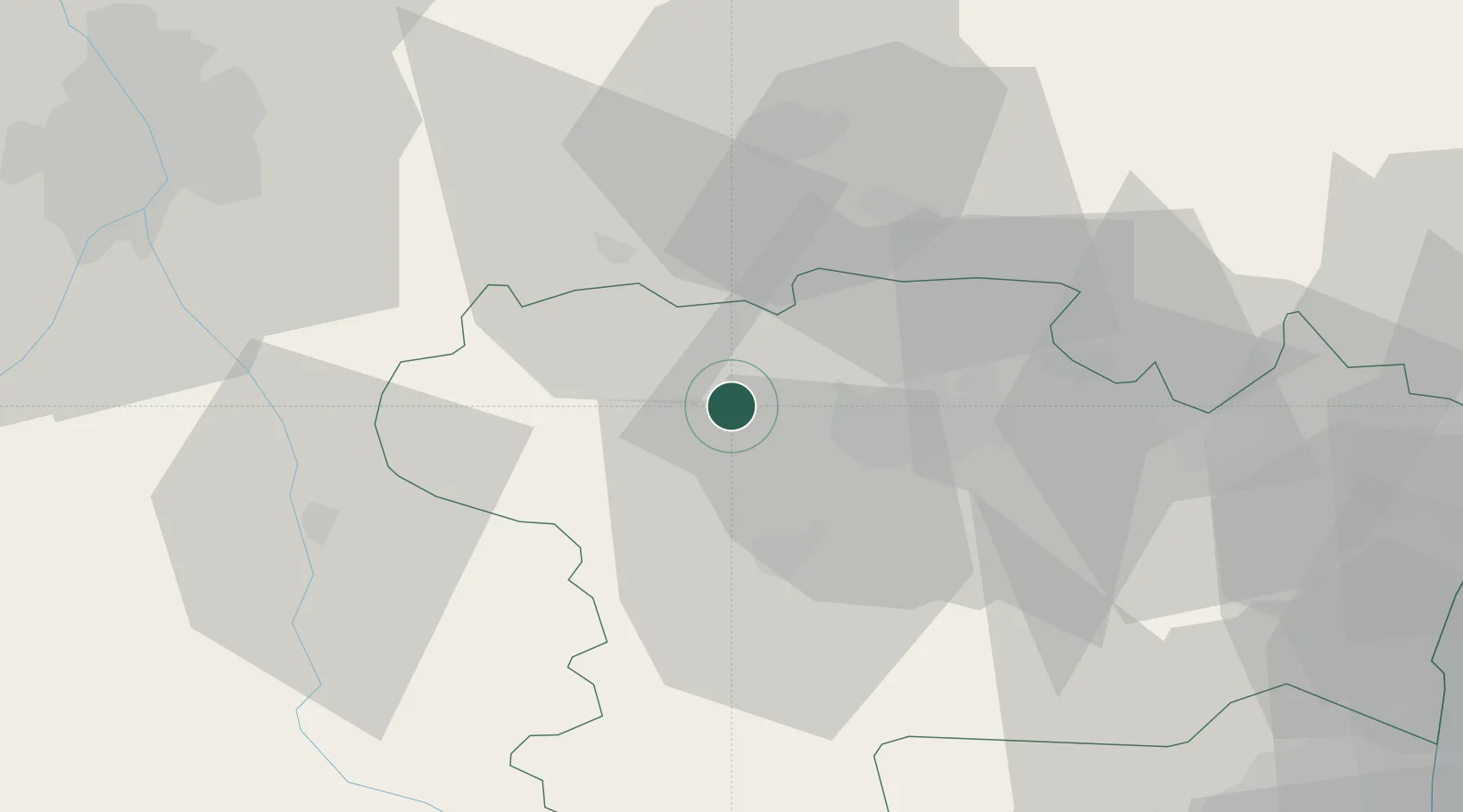
Place type
Populated place
Region
Occitanie
Population
243
Time zone
Europe/Paris
Elevation
164 m
Location
Nearby Logistics Neighbours
Cities
- 1Bram3 km
- 2Villesiscle6 km
- 3Montréal8 km
- 4Villesèquelande8 km
- 5Ventenac-Cabardès11 km
Ports
- 1Port-La-Nouvelle79 km
- 2Port-Vendres115 km
- 3Sete126 km
- 4Rosas140 km
- 5Palamos178 km
Airports
Trade Zones
- 1ZFU Toulouse68 km
- 2ZFU Béziers87 km
- 3ZFU Perpignan87 km
- 4ZFU Montpellier142 km
- 5ZFU Nîmes188 km
DatabookThe Record of Consolidated Knowledge
France beyond logistics?