Transport Functions
Port
Road
Hub Profile
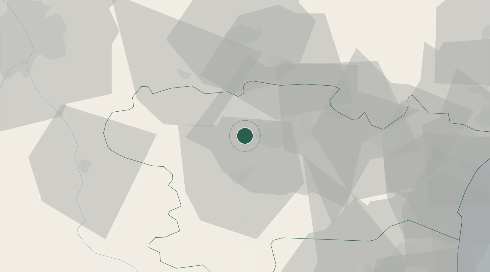
Place type
Populated place
Region
Occitanie
Population
609
Time zone
Europe/Paris
Elevation
119 m
Location
Nearby Logistics Neighbours
Cities
- 1Pezens5 km
- 2Ventenac-Cabardès6 km
- 3Raissac-sur-Lampy8 km
- 4Roullens8 km
- 5Montréal9 km
Ports
- 1Port-La-Nouvelle72 km
- 2Port-Vendres107 km
- 3Sete120 km
- 4Rosas133 km
- 5Palamos172 km
Airports
Trade Zones
- 1ZFU Toulouse76 km
- 2ZFU Perpignan80 km
- 3ZFU Béziers80 km
- 4ZFU Montpellier137 km
- 5ZFU Nîmes183 km
DatabookThe Record of Consolidated Knowledge
France beyond logistics?