Transport Functions
Multimodal
Hub Profile
Place type
Populated place
Region
Occitanie
Population
808
Time zone
Europe/Paris
Elevation
131 m
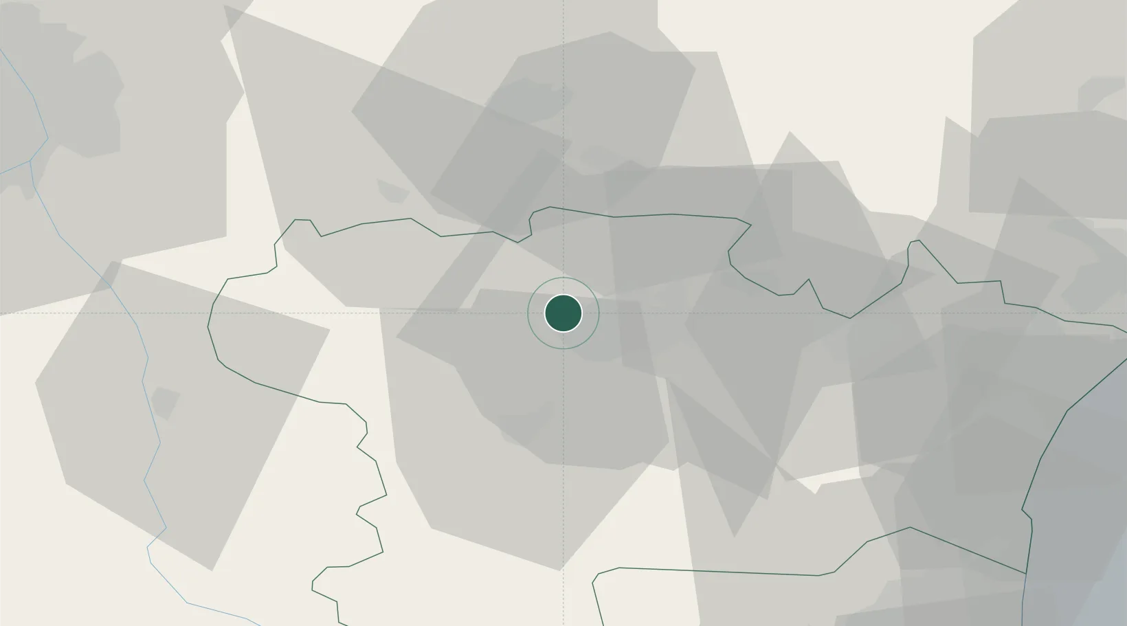
Location
Nearby Logistics Neighbours
Cities
- 1Pezens2 km
- 2Aragon5 km
- 3Villesèquelande6 km
- 4Villegailhenc7 km
- 5Villemoustaussou7 km
Ports
- 1Port-La-Nouvelle69 km
- 2Port-Vendres108 km
- 3Sete116 km
- 4Rosas133 km
- 5Palamos173 km
Airports
Trade Zones
- 1ZFU Béziers76 km
- 2ZFU Toulouse78 km
- 3ZFU Perpignan80 km
- 4ZFU Montpellier132 km
- 5ZFU Nîmes177 km
DatabookThe Record of Consolidated Knowledge
France beyond logistics?