Transport Functions
Multimodal
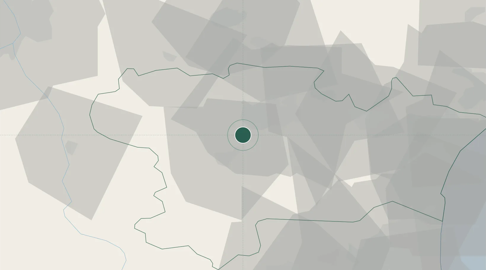
Hub Profile
Place type
Populated place
Region
Occitanie
Population
454
Time zone
Europe/Paris
Elevation
233 m
Location
Nearby Logistics Neighbours
Cities
- 1Leuc5 km
- 2Rouffiac-d'Aude6 km
- 3Cazilhac7 km
- 4Carcassonne8 km
- 5Cépie8 km
Ports
- 1Port-La-Nouvelle66 km
- 2Port-Vendres99 km
- 3Sete118 km
- 4Rosas124 km
- 5Palamos163 km
Airports
Trade Zones
- 1ZFU Perpignan72 km
- 2ZFU Béziers78 km
- 3ZFU Toulouse84 km
- 4ZFU Montpellier135 km
- 5ZFU Nîmes182 km
DatabookThe Record of Consolidated Knowledge
France beyond logistics?