Transport Functions
Multimodal
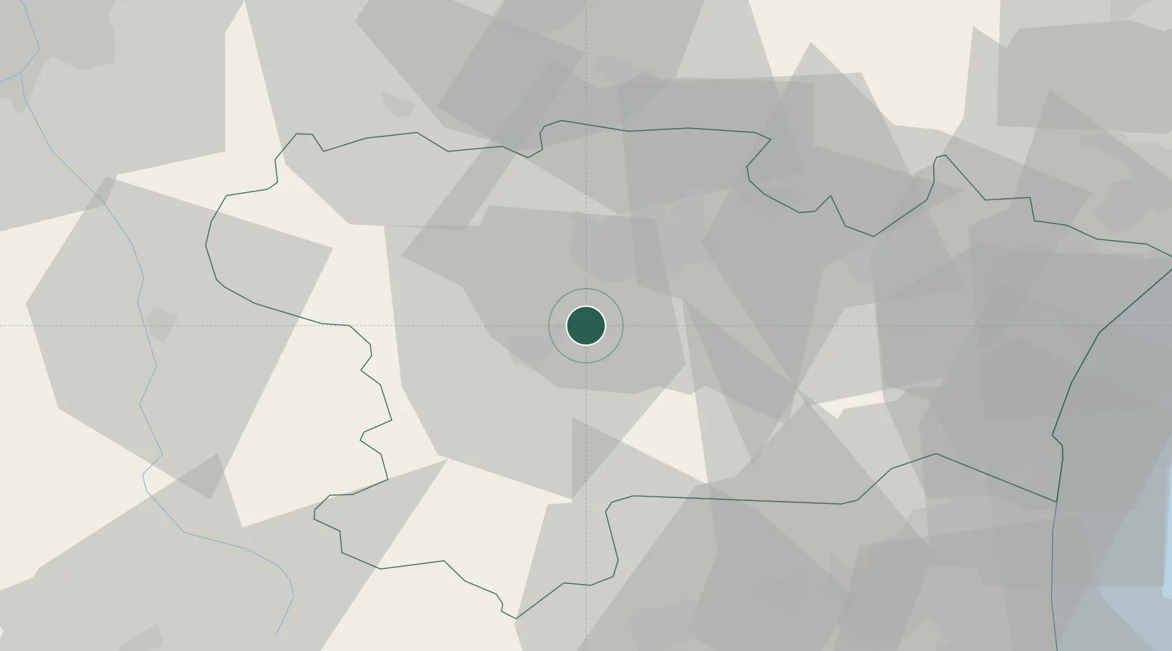
Hub Profile
Place type
Populated place
Region
Occitanie
Time zone
Europe/Paris
Elevation
156 m
Location
Nearby Logistics Neighbours
Cities
- 1Saint-Hilaire2 km
- 2Cépie5 km
- 3Leuc5 km
- 4Roullens6 km
- 5Gardie6 km
Ports
- 1Port-La-Nouvelle63 km
- 2Port-Vendres94 km
- 3Sete118 km
- 4Rosas119 km
- 5Palamos158 km
Airports
Trade Zones
- 1ZFU Perpignan67 km
- 2ZFU Béziers78 km
- 3ZFU Toulouse88 km
- 4ZFU Montpellier136 km
- 5ZFU Nîmes183 km
DatabookThe Record of Consolidated Knowledge
France beyond logistics?