UN/LOCODE hub · France
FRHAQ

Cazilhac

43.1833°, 2.3667°
1,545
Population
1
Transport functions

Transport Functions

Multimodal
UN/LOCODE

Hub Profile

Place type
Populated place
GeoNames
Region
Occitanie
GeoNames
Population
1,545
GeoNames
Time zone
Europe/Paris
GeoNames
Elevation
134 m
GeoNames

Location

Location of FRHAQ
Natural Earth 10m (public domain) · Occitanie · FRHAQ · 43.18, 2.37GoogleOSMYandex

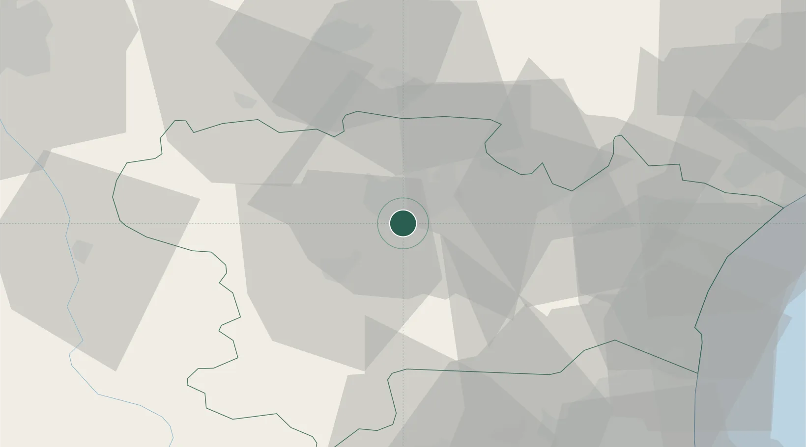
Nearby Logistics Neighbours

Cities
  1. 1Carcassonne4 km
  2. 2Leuc5 km
  3. 3Trèbes7 km
  4. 4Fontiès-d'Aude7 km
  5. 5Roullens7 km
Nearest neighbours — logibook spatial index (haversine) over the source coordinates
Ports
  1. 1Port-La-Nouvelle60 km
  2. 2Port-Vendres96 km
  3. 3Sete111 km
  4. 4Rosas122 km
  5. 5Palamos162 km
Nearest neighbours — logibook spatial index (haversine) over the source coordinates
Airports
  1. 1Carcassonne Salvaza Airport6 km
  2. 2Castres Mazamet Airport42 km
  3. 3Perpignan-Rivesaltes (Llabanère) Airport64 km
  4. 4Béziers Vias airport82 km
  5. 5Albi Le Sequestre airport84 km
Nearest neighbours — logibook spatial index (haversine) over the source coordinates
Trade Zones
  1. 1ZFU Perpignan69 km
  2. 2ZFU Béziers71 km
  3. 3ZFU Toulouse88 km
  4. 4ZFU Montpellier128 km
  5. 5ZFU Nîmes175 km
Nearest neighbours — logibook spatial index (haversine) over the source coordinates
DatabookThe Record of Consolidated Knowledge
France beyond logistics?
Browse databook

All Sources

LocationsUN/LOCODE
UN/LOCODE — free
LocationsGeoNames
CC BY 4.0
Portsthe NGA World Port Index
Public domain (US gov)
AirportsOurAirports
Public domain
Trade Zonesthe World Bank SEZ database
CC BY 4.0
Trade ZonesOpen Zone Map
CC BY
← France locations